Pieman River
Tasmania, Australia
March, 2012
Click on any image for a bigger view
Contact me (garya at this domain) if you want the really good image
We got up at the crack of dawn where we were camped in a Tasmanian Forest Reserve
just outside of Waratah and started driving toward Corona, on the Pieman River.
Our goal was to arrive before 10:00 a.m.,
the time our
Lonely Planet Guide To Tasmania
said the boat tours departed.
It also said you would be wise to make a reservation.
So all we needed was a phone...
We arrived in Waratah in short order,
where we managed to find a phone booth.
Dona called the number in the guide book,
and much to my surprise, it worked.
The guy on the other end said yes, they had room for us on today's trip.
Then he wanted to know where we were.
When Dona said Waratah, he said
"You'll have to leave right away and hurry, it takes an hour and a half."
We said thanks, we'll be there.
We left at 08:10 and arrived at 09:15,
but it's a good thing we had a small, capable four-wheel drive vehicle.
It's the only time we used 4WD on the whole trip.
It wasn't because of mud.
The road is a twisty, steep, full-of-blind-corners, ridge top to valley bottom one-lane gravel road,
with industrial mining traffic on it -- huge semi-sized vehicles.
It would be easy to drive down at a leisurely pace;
on the other hand, it would be easy to go skidding off a corner and crash down into a ravine if you're in a hurry.
We were in a hurry.
I consciously kept telling my self not to be in too big a hurry.
We didn't have any mishaps or close calls,
but I was glad we had the car we did.
We only met two vehicles on the road, fortunately.
One was a pickup truck, and we passed without difficulty.
The other was a big rig coming around a blind corner;
fortunately, his nose emerged as we were approaching and there was a turnout right there we could pull off into.
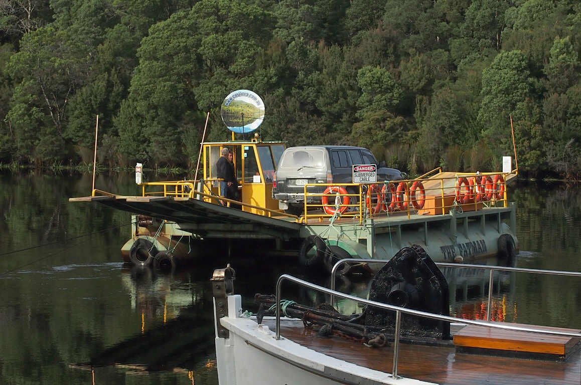
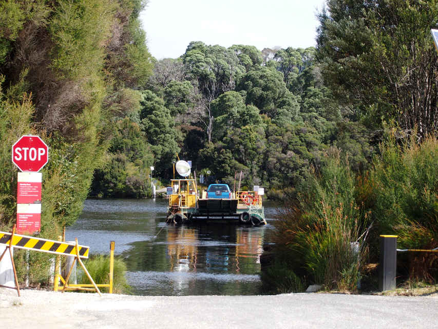
As we drove into Corona,
the first thing we saw was the ferry.
It reminded me of the
Virgelle Ferry on the Missouri River.
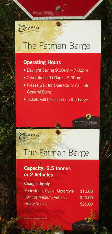
The second thing I noticed was the sign about how to actually make the ferry do anything.
 |
 |
 |
| Pieman Ferry |
How to get it to Go |
Hours and Rates |
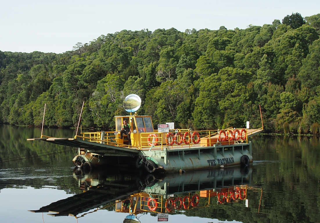
The ferry is known as the "Fatman Barge,"
so named because someone remarked when it was being constructed (shortly after World War II)
that the pontoons looked like an Atom bomb,
one of which was nicknamed "Fatman."
It's a cable ferry, moved across the river by a motor pulling it one way or the other
by a cable attached permanently to both sides of the river and the barge.
It holds a maximum of two vehicles.
I don't think much industrial traffic crosses here...
 |
 |
| Ferry with some Cargo |
Returning Empty |
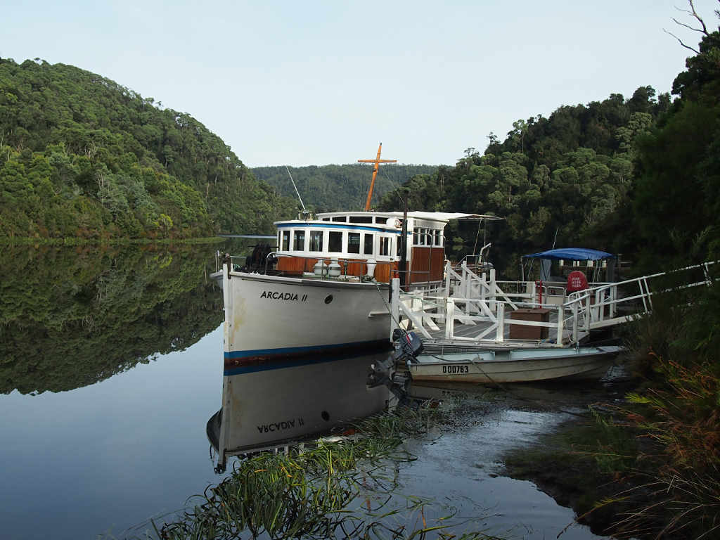
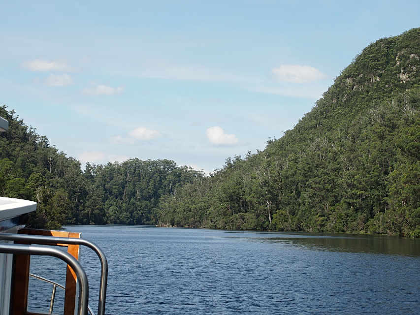
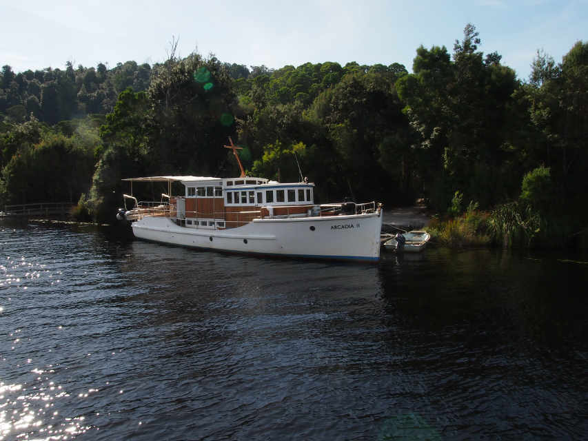
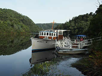
Our tour boat was the Arcadia II,
a boat which has a long history of service in various capacities.
Her captain and one crewmember filled us in on local legend
and pointed out many of the tree species along the banks.
However, I think the captain got the naming of the Pieman River a bit mixed up;
I believe this is the correct version.
 |
| Arcadia II Tour Boat |
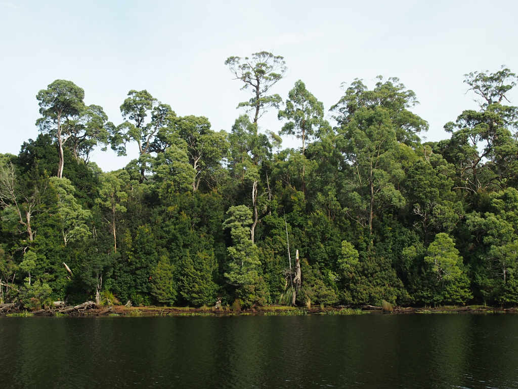
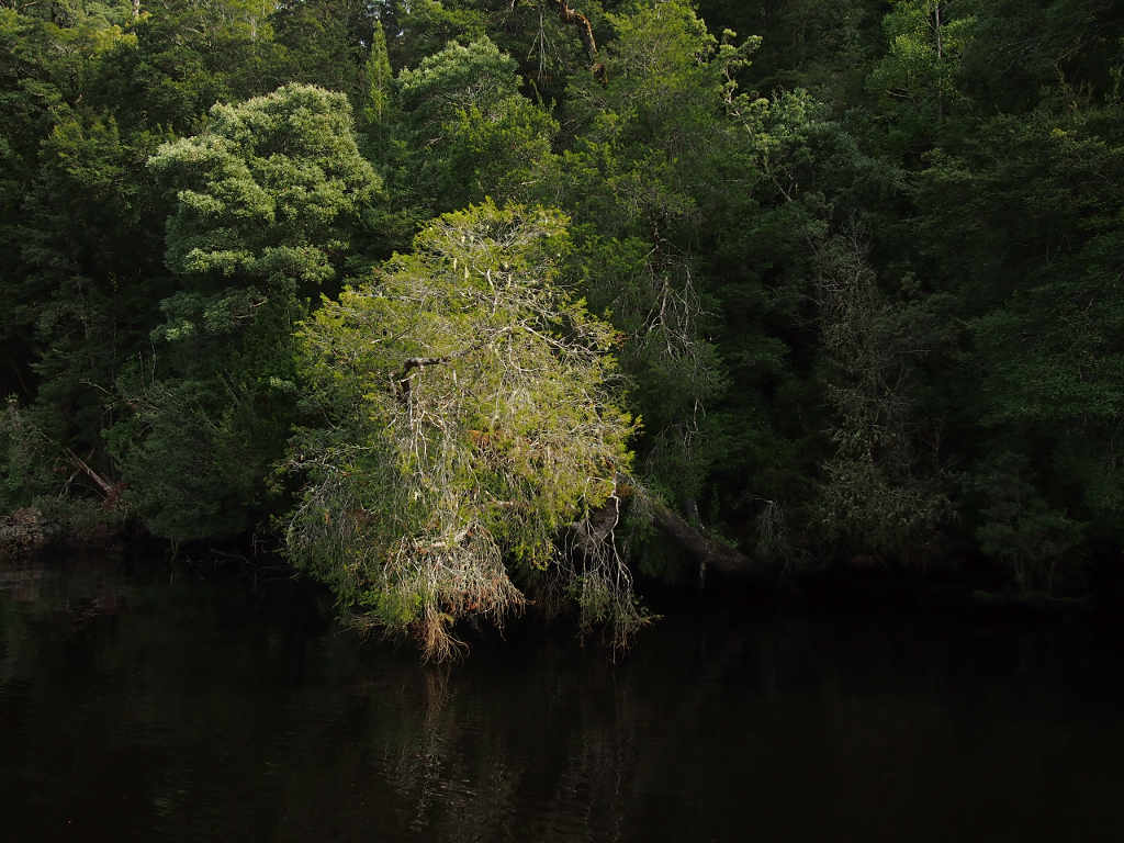
 |
| Typical Mixed Species Tasmanian Forest |
The Arcadia II had an old anchor windlass mounted on the foredeck which looked pretty beefy
and pretty simple.
I kept thinking I could use something like that on Malakii,
except that it was waaaaay to big and heavy.
But I liked the principle and simplicity of the thing.
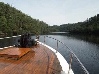 |
| Arcadia II Windlass |
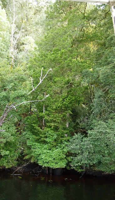
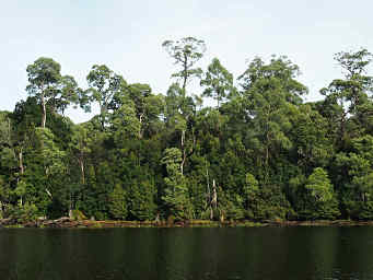
One of the reasons we wanted to take a trip on one of these western Tasmanian rivers
is that they are the only place in Tasmania where there are old Huon Pine trees still growing.
Huon Pine are some of the
longest-lived trees in the world,
and we were hoping to see a big, old one.
However, our tour went down the river to its mouth,
rather than up the river into less-traveled territory.
Huon Pine grows only along the banks of these rivers,
and in the twentieth century
loggers traveled up the rivers by boat and harvested the easy stuff --
the trees near the banks.
So all of the old tree on the lower parts of the rivers are gone,
and only smaller, young ones are left.
The big ones are farther up,
in places the loggers didn't get to before the trees were protected somewhat.
Our first-mate knew many of the tree species,
and pointed them out to us at one point when we slowed down and went closer to the bank.
 |
 |
 |
| Huon Pine |
Some other tree... |
Huon Pine |
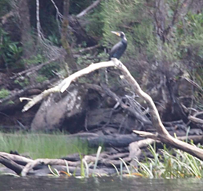
We didn't see many birds along the river,
which was a disappointment.
We did see these ducks,
which I can't identify from the
Wikipedia list of Tasmanian Birds;
and some Great Cormorants.
 |
 |
| Xxx Ducks |
Great Cormorant |
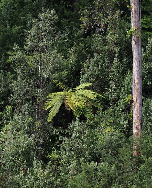
Near the lower end of the river the Captain pointed out some man-ferns on the bank,
and told us they were a previously unknown species.
Apparently no-one knew they were there until a fire a few years ago took out the canopy trees
and revealed the man-ferns in the understory.
As I recall they have thinner trunks / stalks and are taller than the regular man-fern.
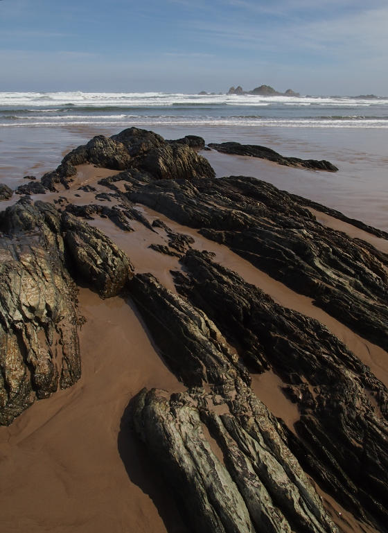
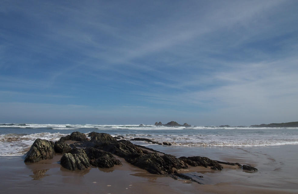
About lunch time we arrived at the mouth of the river,
where we went ashore.
The tour included sack lunches, which we stuffed in our packs
as we headed for the beach.
The dock is at a small "village" or some sort.
I'm not sure what the people who live there do to support themselves.
There were quite a few birds flitting about,
but we only had a couple of hours before the boat turned around to take us back,
so we didn't have a lot of time to stalk them.
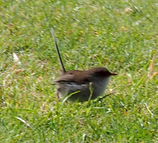
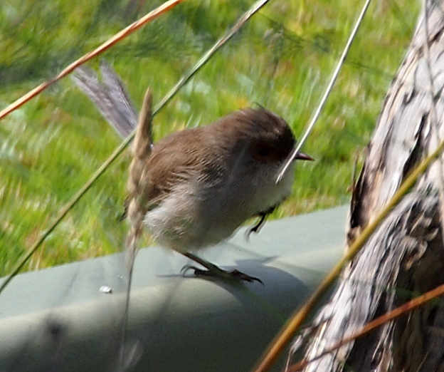
There was one that looked kind of like a
superb fairy wren female,
but I'm not sure and I didn't see any of the male birds.
I didn't realize that's what it was at the time,
or we might have hung around longer to see one of the males.
| Xxx Superb Fairy Wren (female) |
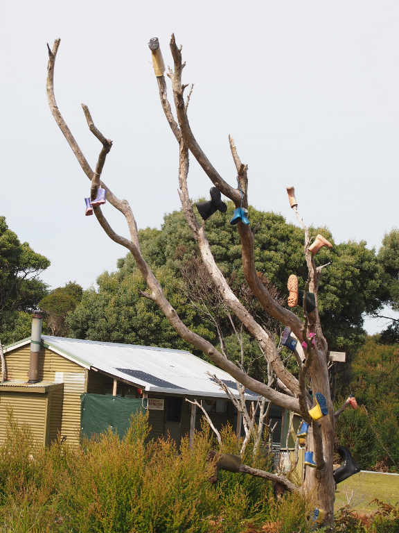
There was also a boot tree, similar to the one we have outside of Ovando.
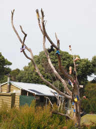 |
| Boot Tree |
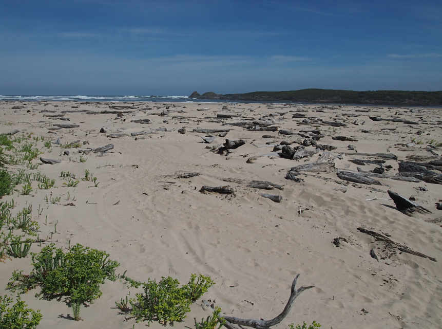
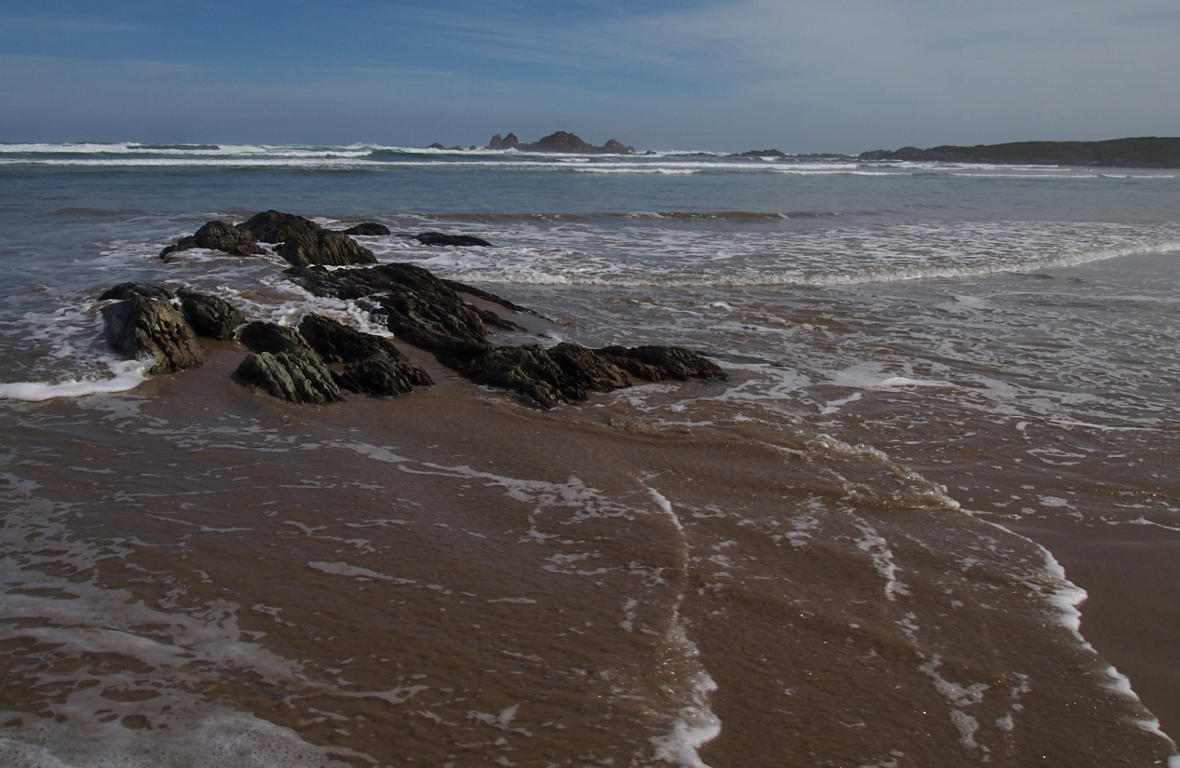
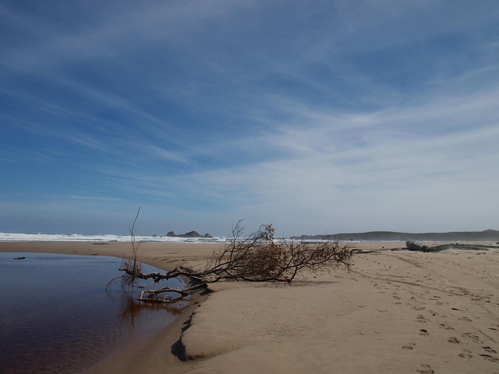
We hiked on down to the beach.
The western shore of Tasmania is farther south than the mainland of Australia,
so what we were looking at was,
depending on who you talk to and what time of year it is,
either the notorious Southern Ocean
or just a piece of the
Indian Ocean.
In any case, it's the water in the
Great Austalian Bight,
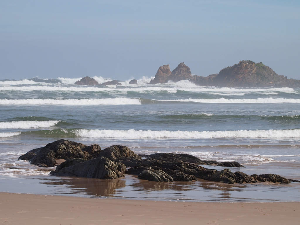
and it was fun to be on the beach and explore some more.
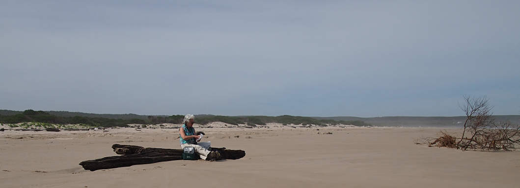
We started by having lunch and watching the birds.
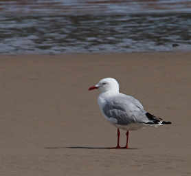 |
| Silver Gull |
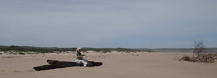 |
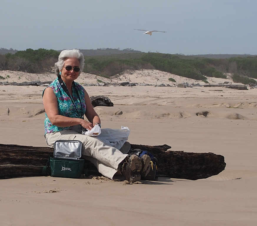
| Dona at Mouth of Pieman River |
 |
 |
| Lunchtime |
|
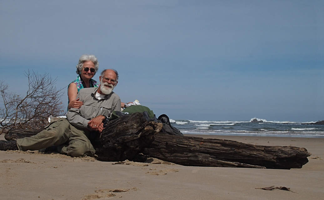
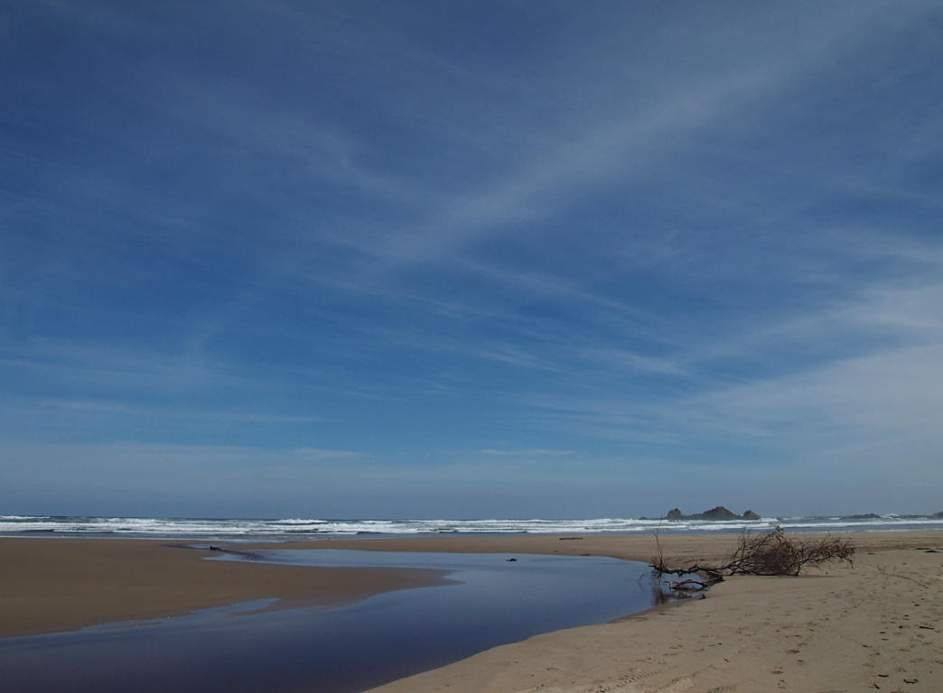
Then we wandered up and down the beach.
We regretted not having more time.
We had a gorgeous day, one of a relatively few on this side of Tasmania.
It rains about 300 days a year over there.
The ideal thing would be to bring a canoe or rent one in Corona,
and paddle down the river and camp for a few days on the beach.
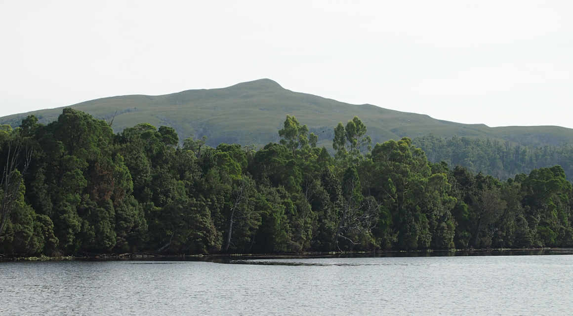
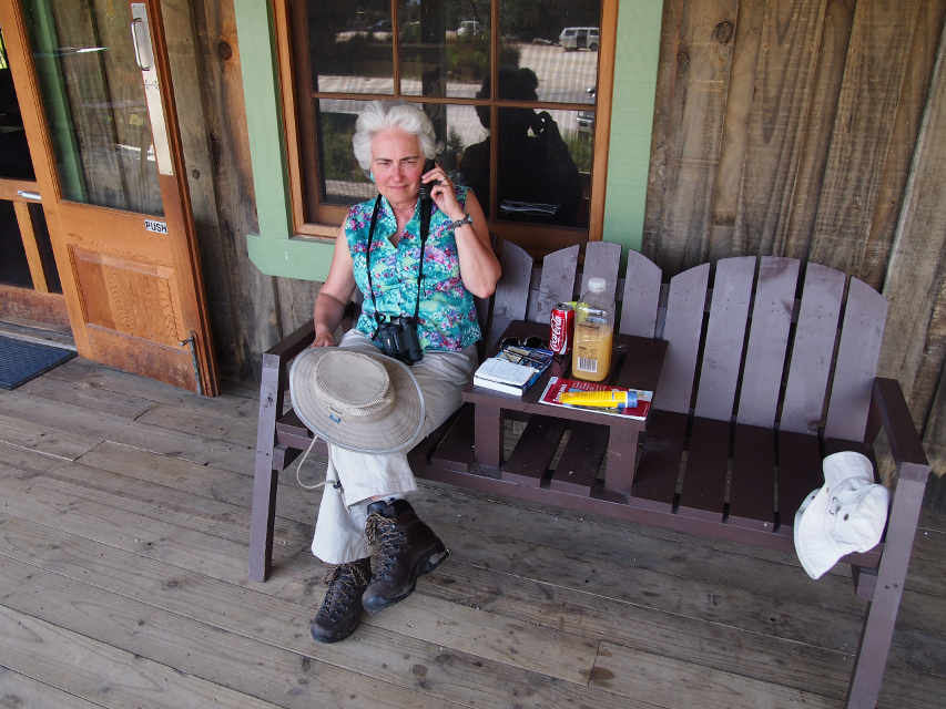
After returning to Corona we consulted our map.
According to the weather forecast
we had one day of good weather left.
We had been thinking of spending the rest of the day around Corona,
camping there, and then heading out in the morning.
But with had been hoping to do some hiking around Lake St. Clair,
and we wanted good weather for that.
It was already late afternoon, but that had never stopped us before...
Dona borrowed a phone to call a man
about some veneer,
and then, having already read the sign two or three times,
we drove to the stop sign,
waited until the ferryman showed up,
drove aboard,
and got cabled across the river.
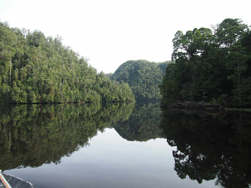
 |
 |
| Pieman River |
Dona Checking with the Veneer Man |
 |
 |
| Fatman Barge |
Arcadia II |
We were headed for Lake St. Clair,
and we were wanting to travel fast-ish,
as it was quite a ways.
But that was hard to do.
It was a sunny day.
It was pretty.
There was cool stuff to see along the way.
We didn't know what was between where we were and Lake St. Clair,
but we stopped along the way and found out.
One of the cooler places was
Donaghy's Hill.