Chinese Wall
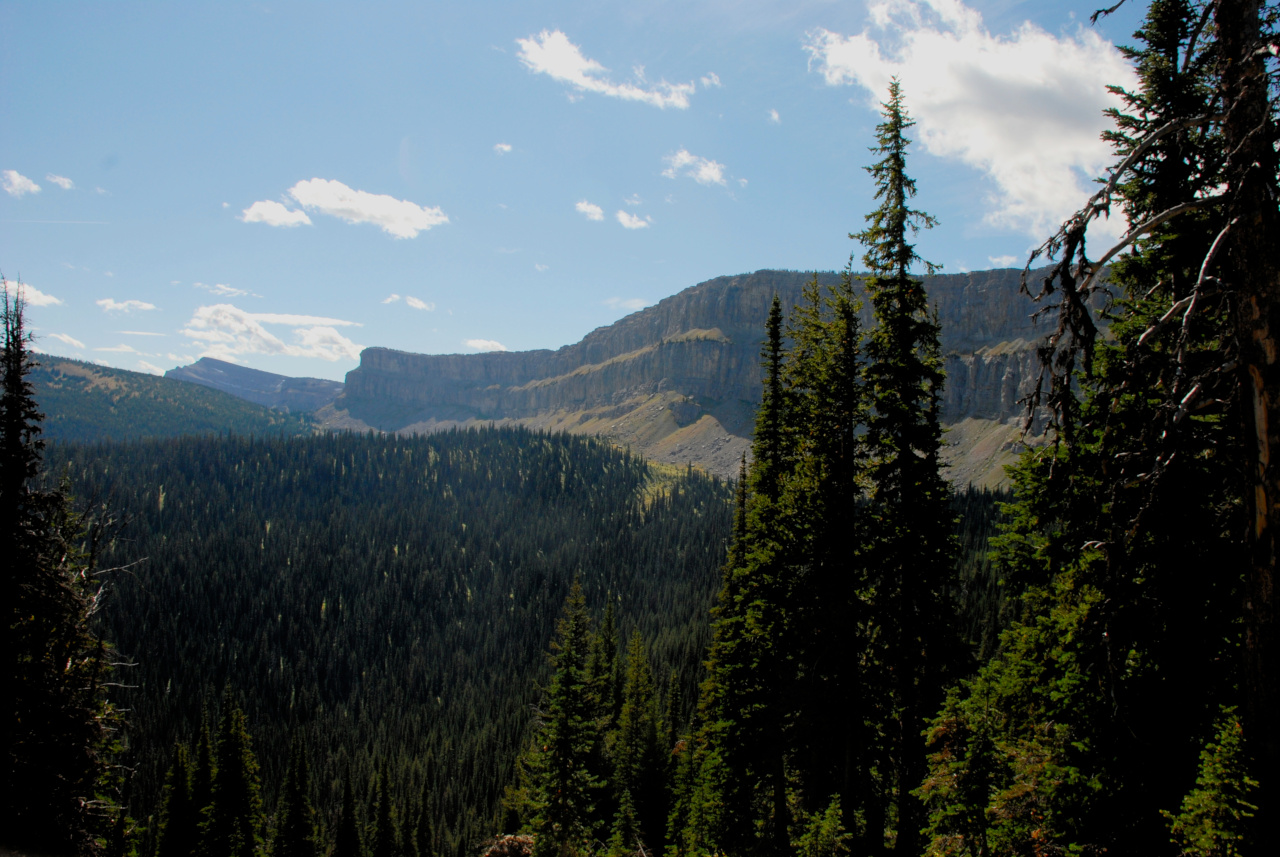
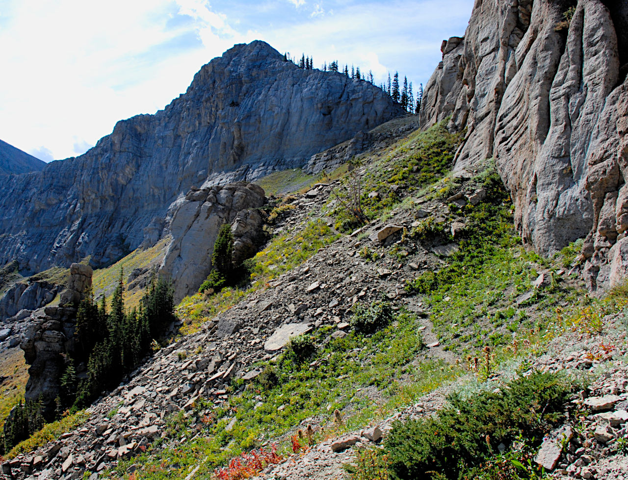
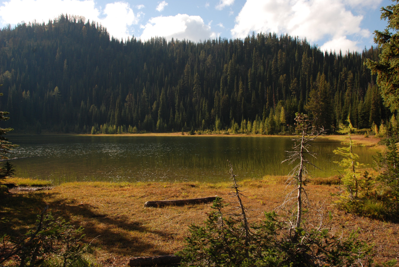
We had a layover day planned for My Lake, primarily because it is close to the Chinese Wall and we could hike to the wall and back on a day excursion. My Lake is located in a somewhat secluded basin and unfortunately you can't see much from the lake area. But it is up high and you can hike to some wonderful views. After a liesurely morning, we hiked the couple of miles over to the Wall. Wow! It's a spectacular hunk of rock.
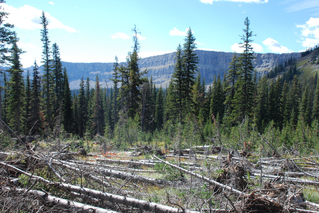
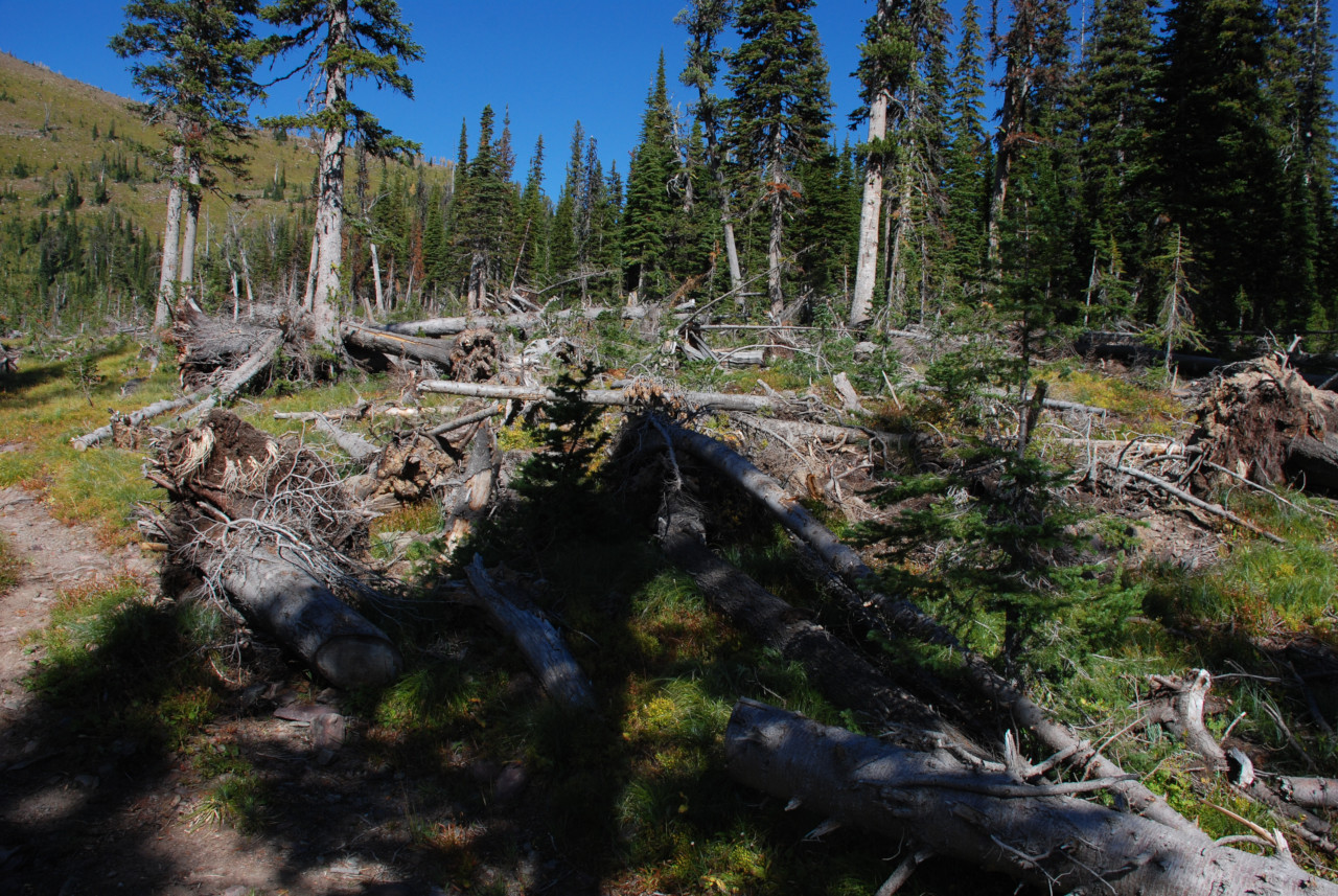
As we hiked over the hill to reveal the Wall, we came to an area where almost all of the trees were down. At first I thought it was the result of an avalanche, a fairly common thing to see. Then I noticed there was no obvious avalanche chute nearby, and the trees were lying in different directions depending on where they were. That's when I realized it was the result of a microbusrt. Or at least that's what I think it was...
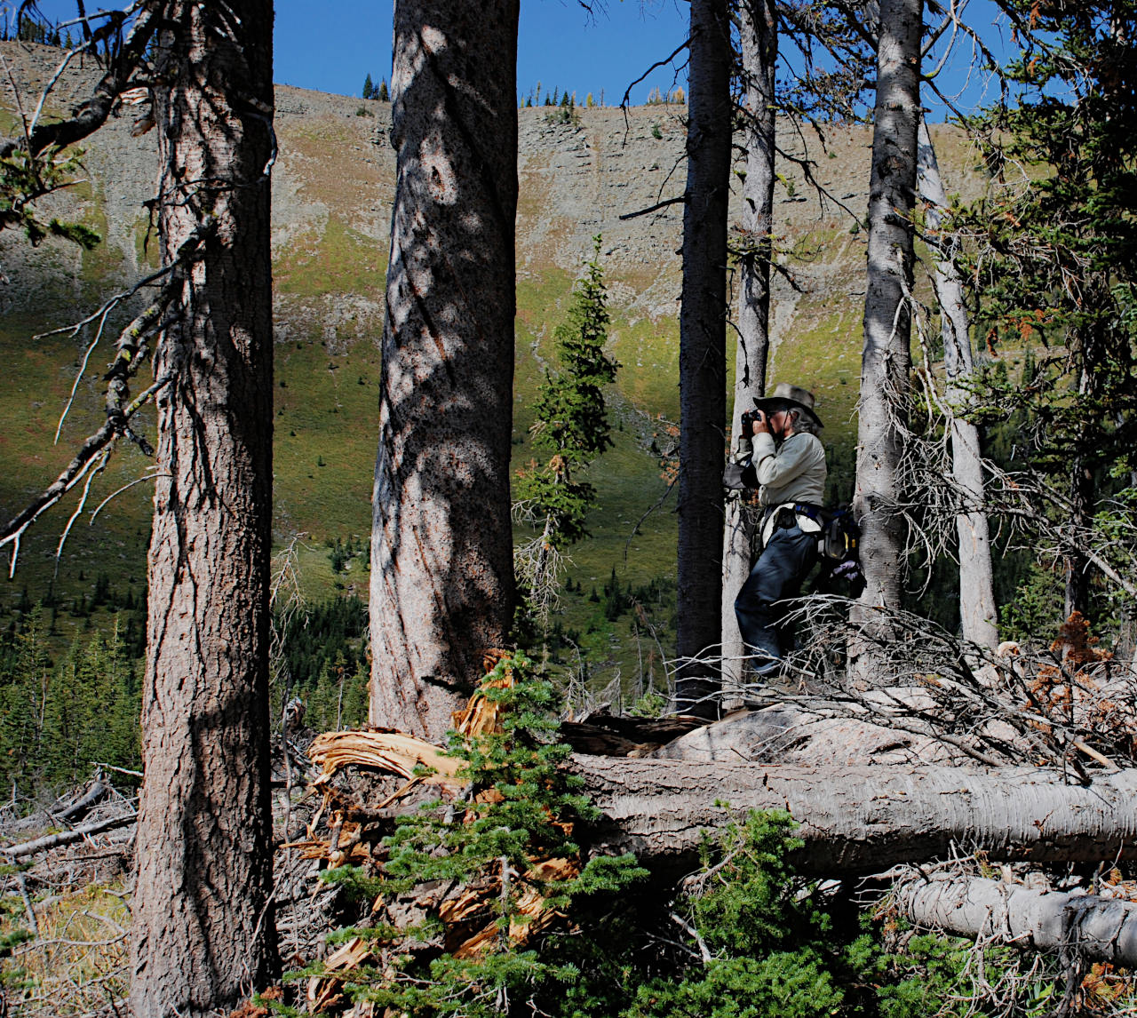
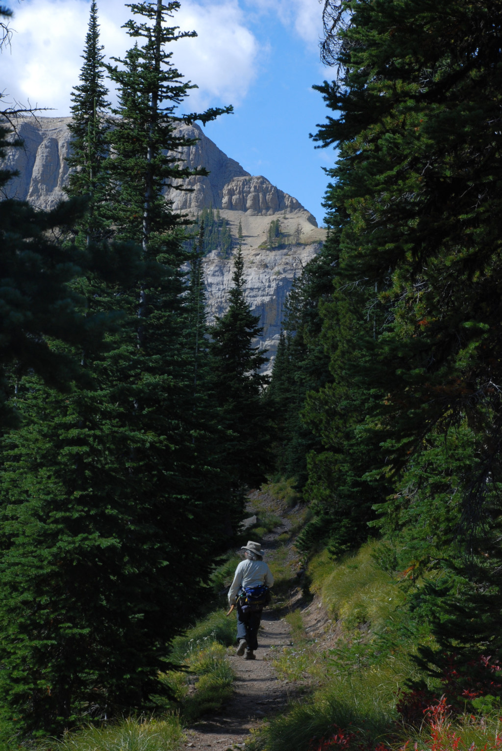
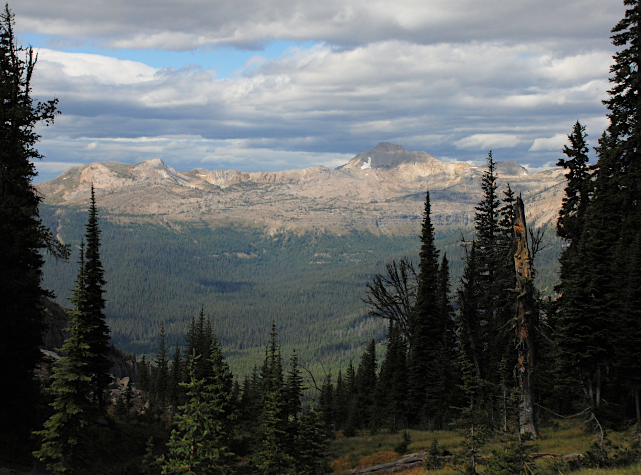
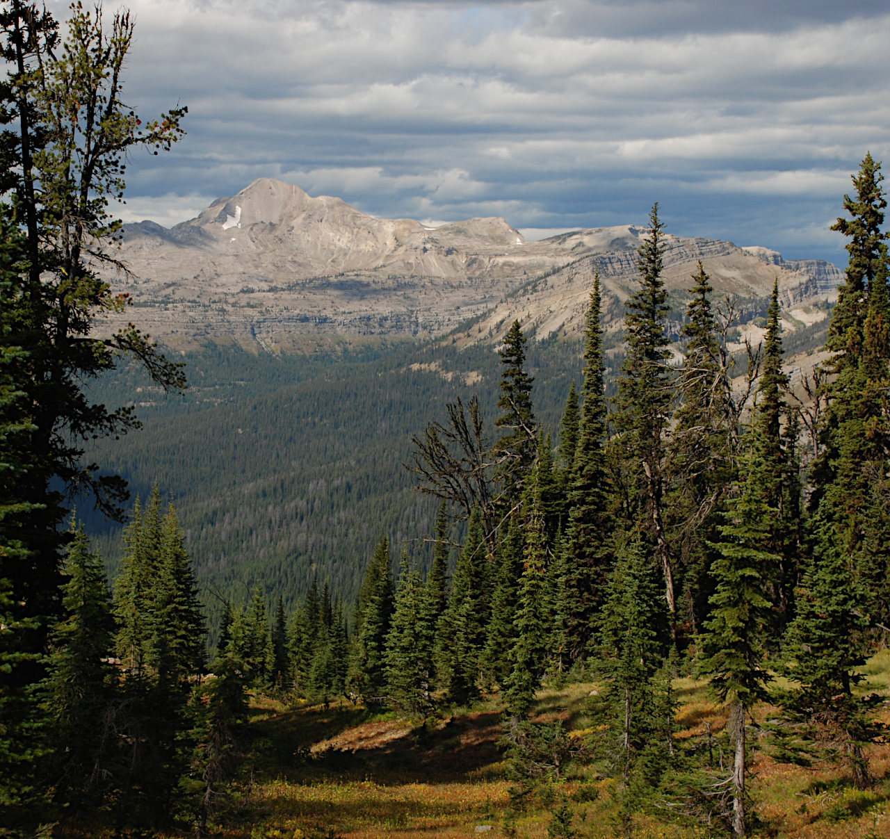
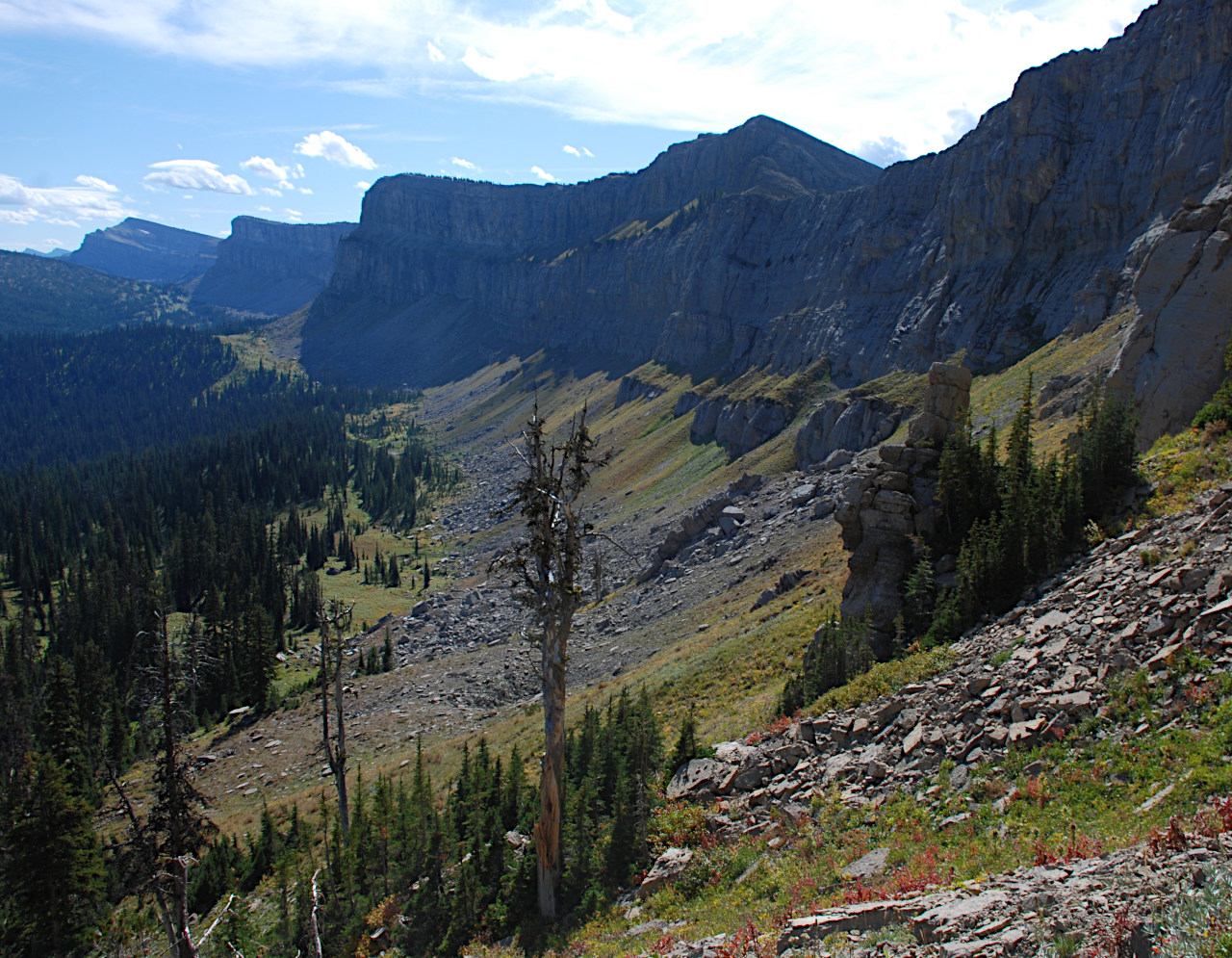
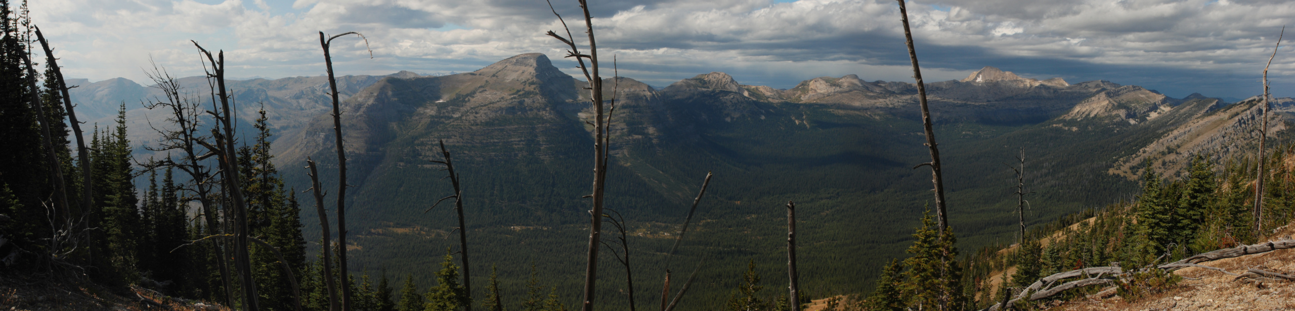
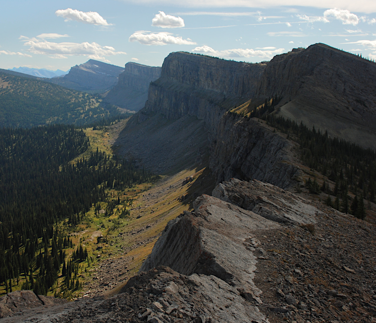
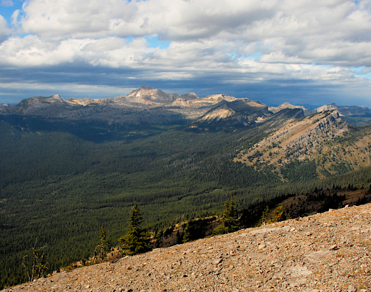
We hiked up to Larch Hill Pass, a break in the wall, and had lunch on the other side lying in a meadow looking across at Silvertip Peak. The eastern part of the Bob is an impressive series of steep uplifted cliffs, all lying parallel to each other, marching from east to west. The east-facing walls of these cliffs are all steep uplifts; they have been pushed up from the land to their east, and their west slopes are more gently sloping. The Chinese Wall marks the Continental Divide and is (I think) the westernmost of these uplifts. It's not even close to the westernmost ridge of mountains, but the mountains to its west are formed by some process other than faulting; maybe "scrunching," where they get squeezed up from forces both east and west, if that could be a geological term. But I'm no geologist, so somebody please straighten me out if I'm wrong on this... Everything on the East side of the Chinese Wall flows into the Missouri, then the Mississippi, and on to the Gulf of Mexico. Everything on the West side flows into the Flathead or the Blackfoot, then the Clark Fork, and eventually on to the Columbia and the Pacific. So we ate lunch a few feet into the Pacific watershed looking at a basin that drained there, and then hiked home in the Atlantic watershed.

On the way up to the pass I had noticed a break in the wall to the south,
and a trail that led to the saddle at the break.
It looked like once you got to the saddle,
you could easily climb the short ridge to get to the top of the wall.
So after lunch, I headed over that way
while Dona hung out down below.

We headed back to camp. As My Lake came into sight we saw horses picketed down by the lake. Some hunters had made camp. A clear violation of the closure to stock within 500 feet of the lake; who knows what else they were up to. I went over to talk after we got back. It was a man and his two sons from Missoula. He said they had been hunting on the other side of White River Pass, and were going over to Spotted Bear Pass to hunt the next day. They had come up along the wall, and were going out down the North Fork of the Sun. I have difficulty believing if you are on a legal hunting trip you would spend all the time they had in an area where you weren't allowed to hunt, just popping over the divide occasionally to do some hunting.
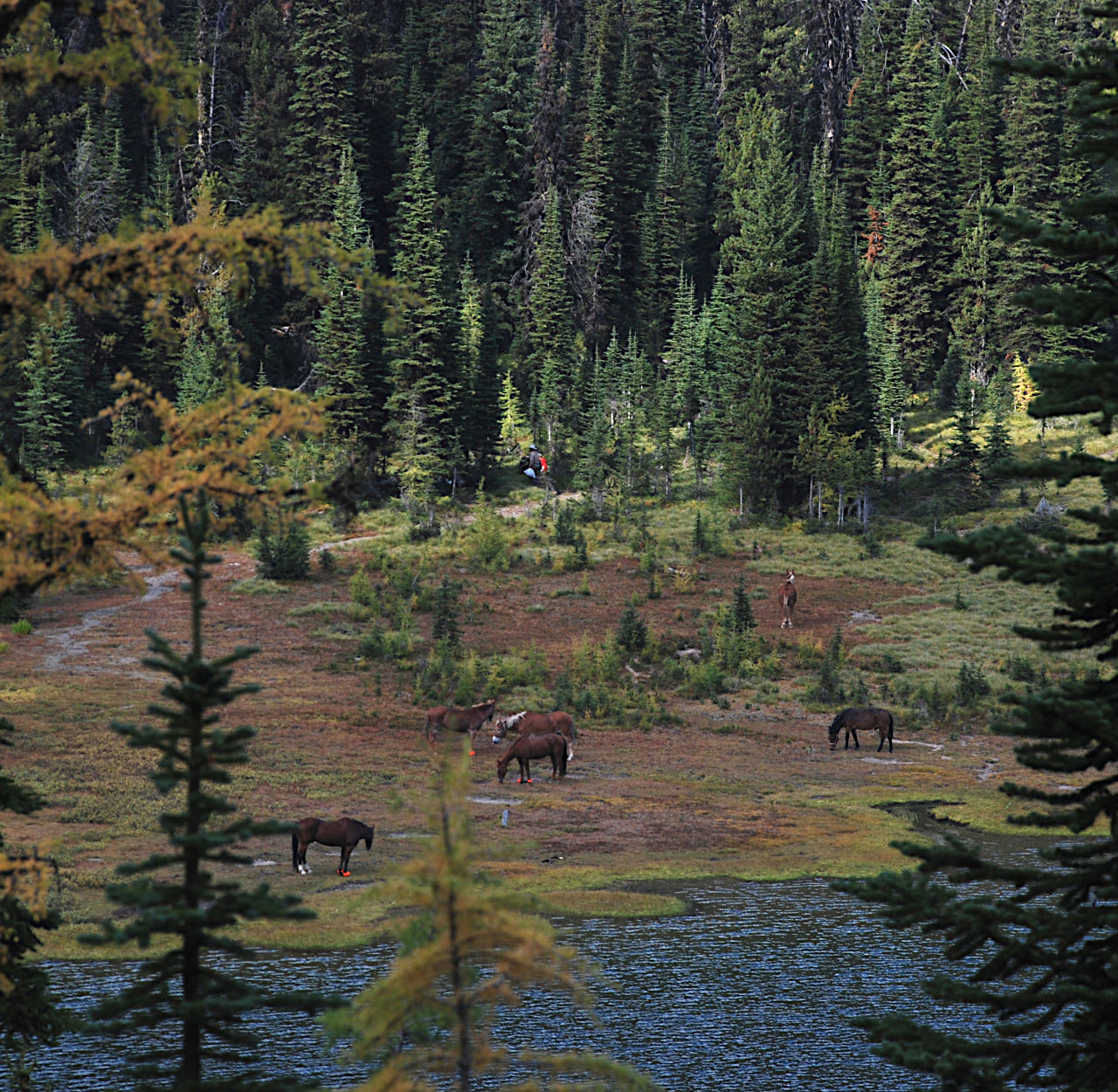
When I turned the horses out to graze I discovered Scheba had lost a shoe. Fortunately she lost it while picketed and I found it. We had a long day coming up, so I used the last of the evening light to reset it. That took most of the horseshoe nails we had, so I tightened their shoes all around and asked the horse gods to be kind.