The departure day for my friend Wayne's and my trip down the South Fork of the Flathead was fast approaching, and I wanted to know a bit more about our route in. Time has generally been good to us, but we have some aches and pains, persnickity knees and things like that. I was curious what the uphill portion of our hike in would be like. In addition, I needed to put a vehicle at the take out so we could get home.
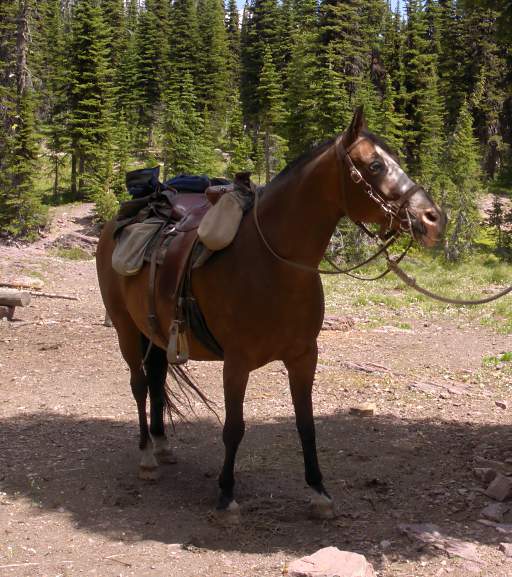
Two weeks before our planned departure I loaded Sambo into the horse-trailer and drove up to the trailhead, then rode up to Pyramid Pass to see what the uphill part would be like. It was a fun, relaxed ride. Sambo didn't hardly break into a sweat going up to the pass, and it didn't look like it would kill two oldish geezers like us. We sometimes don't arrive at our destination with much spring left in our step, but we manage to get there. There were a few fish rising in the pond at the top when we arrived.
|
|
|
| Sambo | Pond at Pyramid Pass |
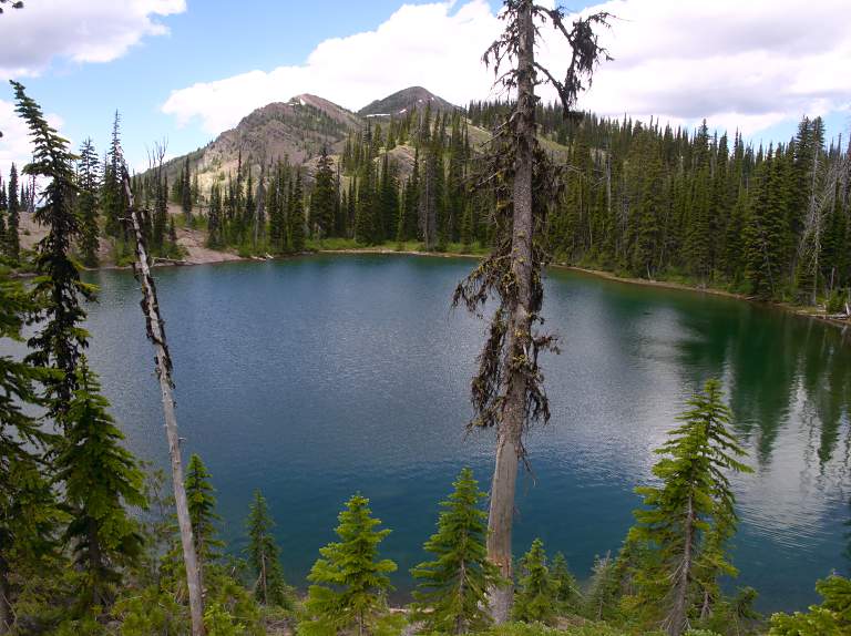
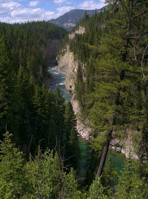
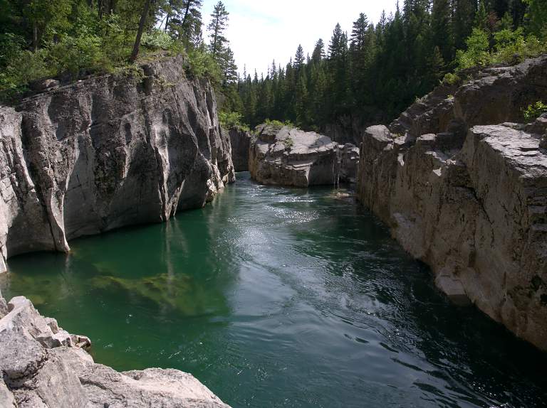
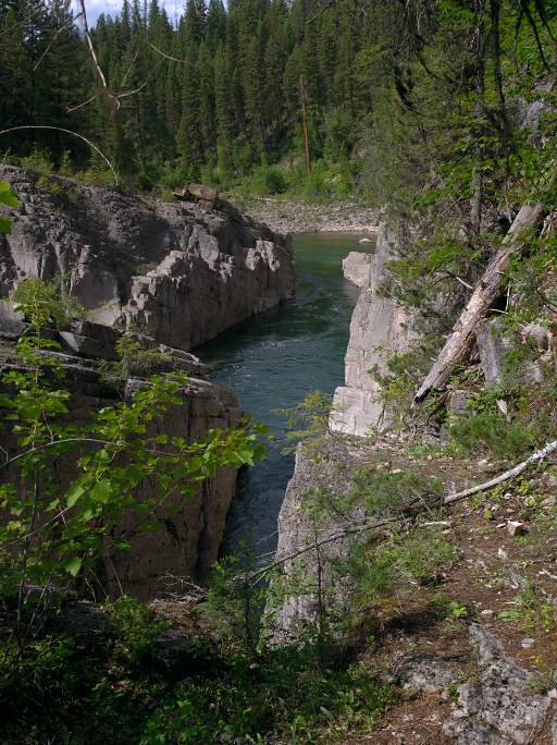
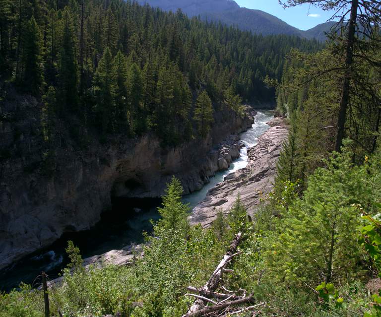
Sambo and I rode a bit past the top and over to Pyramid Lake to check it out. Sid and Alex, two of Dona's sons, had hiked up to the pass a few years earlier hoping to do some fishing there. They'd arrived at the pond and thought it was the lake, only realizing their error when they were about ready to head back down. It was a gorgeous day and the lake looked great. I would have liked to stop and fish but we had dinner guests coming and I needed to head home.
 |
| Pyramid Lake |
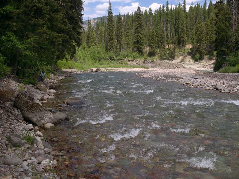
A week before our planned departure Dona and I took a few days and drove up to the take out at Spotted Bear Ranger Station, where we left our truck.
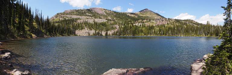
It was a busy weekend; there were hordes of fisher-people with drift boats and kayaks on the river below the ranger station, in the campgrounds, and driving up and down. It's a pretty river with good fishing at times, but with all the traffic not my idea of a fun place to spend any amount of time.
 |
| South Fork Flathead below Spotted Bear Ranger Station |
Floating the South Fork through the Bob Marshall Wilderness has two issues which make it more complicated than most wilderness floats. The first is access to the put-in -- our Young's Creek put-in is 14 or 15 miles (depending on the route) from the nearest road, over a pass and then down; the normal put-in is where the South Fork proper starts at the confluence of Young's and Danaher creeks, 23 miles from the trailhead.
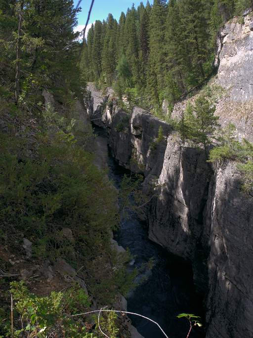
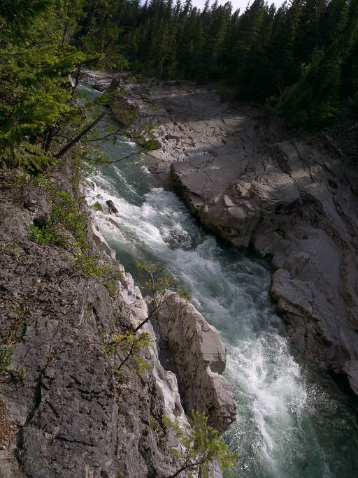
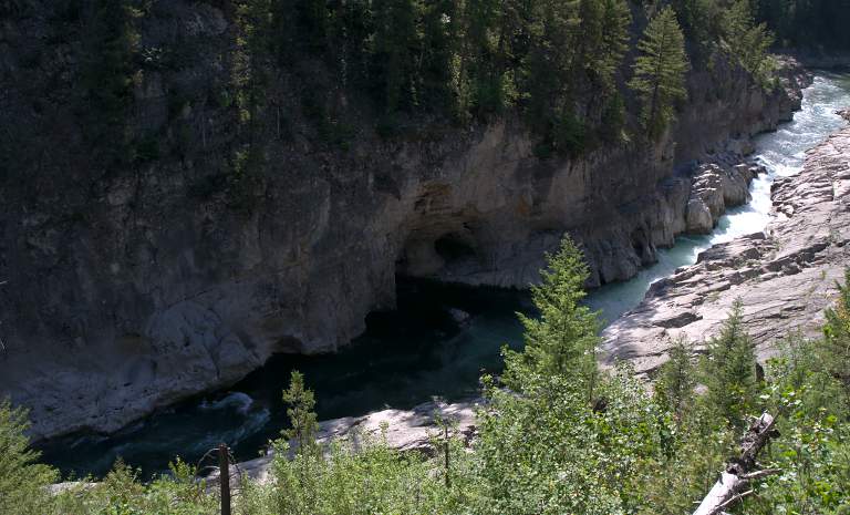
Meadow Creek Gorge is the other issue. It's about five miles long; a narrow, confining stretch of slot canyons with gorgeous placid stretches broken by rapids with blind corners and no way out once you've started down. The slots aren't all that deep, ranging from about ten feet to a bit over 100 feet, but the walls are sheer on both sides for stretches. Some of those stretches are calm and placid; others are serious class IV - V rapids. At one point you can stand with one foot on each side of the canyon with the whole river beneath you. That's at pretty low water; I wouldn't want to be anywhere near it at high water. And at our water level? I still don't know. It's not unrunnable; it's been run at low water, at least. But it has some notable hazards, like a log across the gorge at water level, and those blind-corner rapids. I've wanted to run it ever since I first read about it, but this wasn't going to be the trip to do that.
The South Fork starts into Meadow Creek Gorge about three miles from a pack bridge at a campground. So you have to take out three miles from the road and pack your gear out. Some people hire an outfitter to haul them out; I figured we'd schlep our own gear, having at least used up most of our supplies by then. Most people finish their trips there.
There's another ten or so miles of river below Meadow Creek Gorge before you get to Spotted Bear Ranger Station, and our plan was to run that also. To run that section, you have to put in about two miles below the Meadow Creek pack bridge and campground, so you have to schlep your gear another two miles or arrange for a ride. I was hoping we could thumb a ride, but if need-be we could do the portage ourselves.
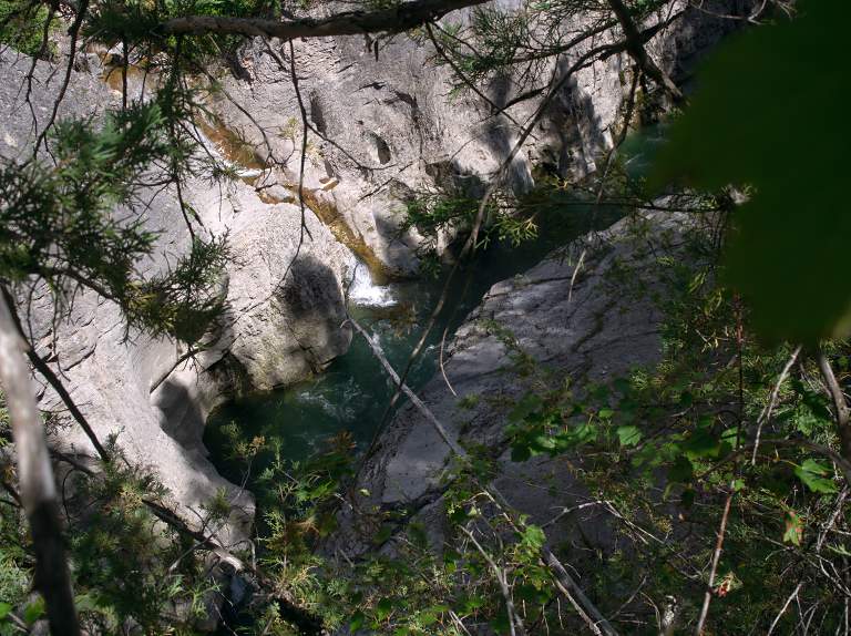
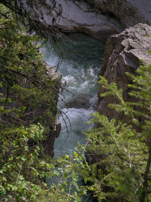
Since Dona and I were there setting the shuttle, I wanted to get a look at the gorge. So we drove up to the Meadow Creek pack bridge and camped. We hiked up the gorge a bit so we could see what this notable difficulty looked like. It definitely lived up to its reputation.
It's gorgeous and enticing; then it turns into a great mystery; it could be a nightmare.
 |
 |
 |
 |
| manageable rapids; places to eddy out and scout |
no rapids... |
in your stomach if there's no way out |
could mean real trouble |
| Meadow Creek Gorge below the Pack Bridge | |||
 |
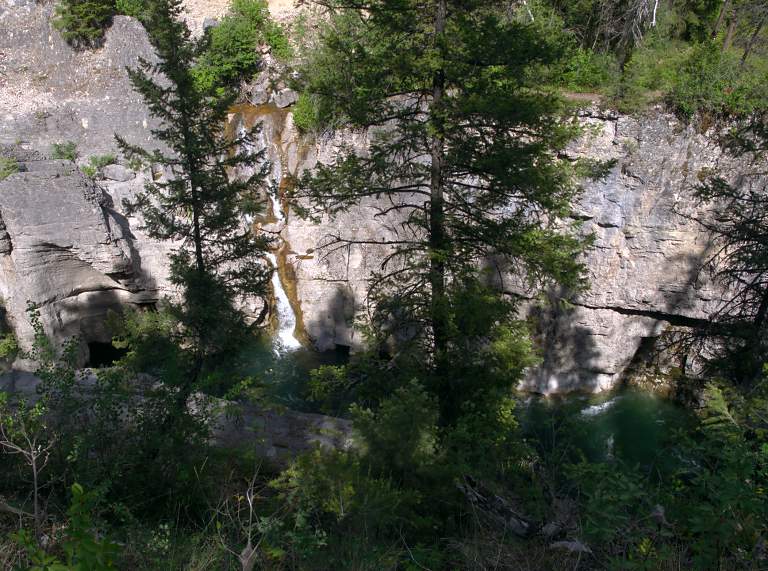 |
| Waterfall coming into the Gorge a short distance below the Pack Bridge | |
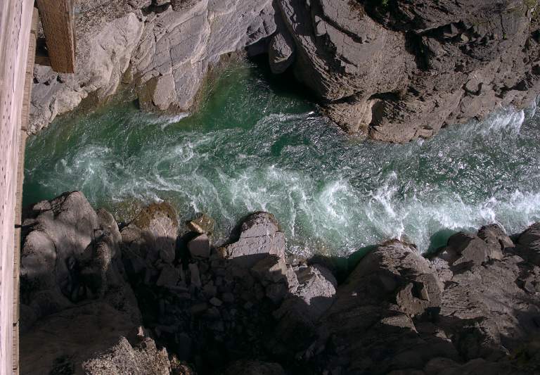 |
 |
| Meadow Creek Gorge above the Pack Bridge | |
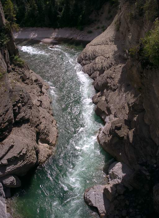
 |
 |
| Meadow Creek Gorge upstream of the Pack Bridge | |
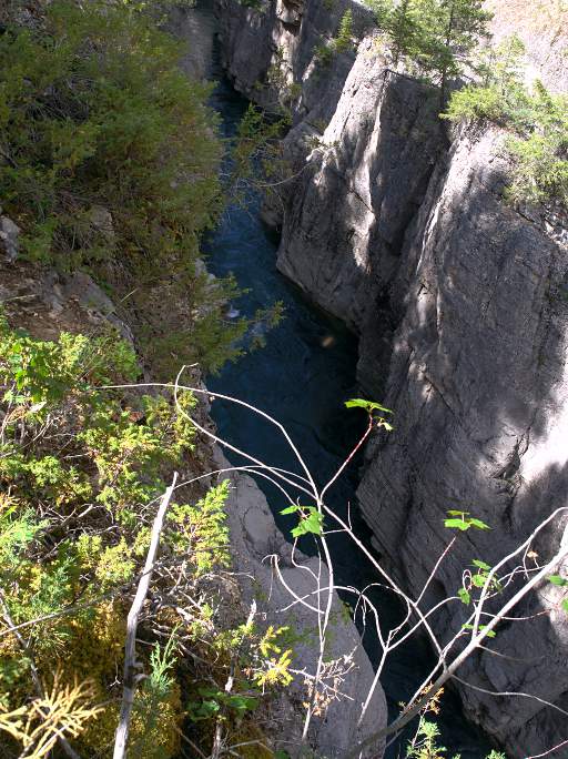
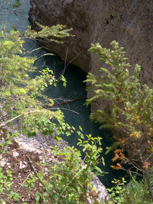
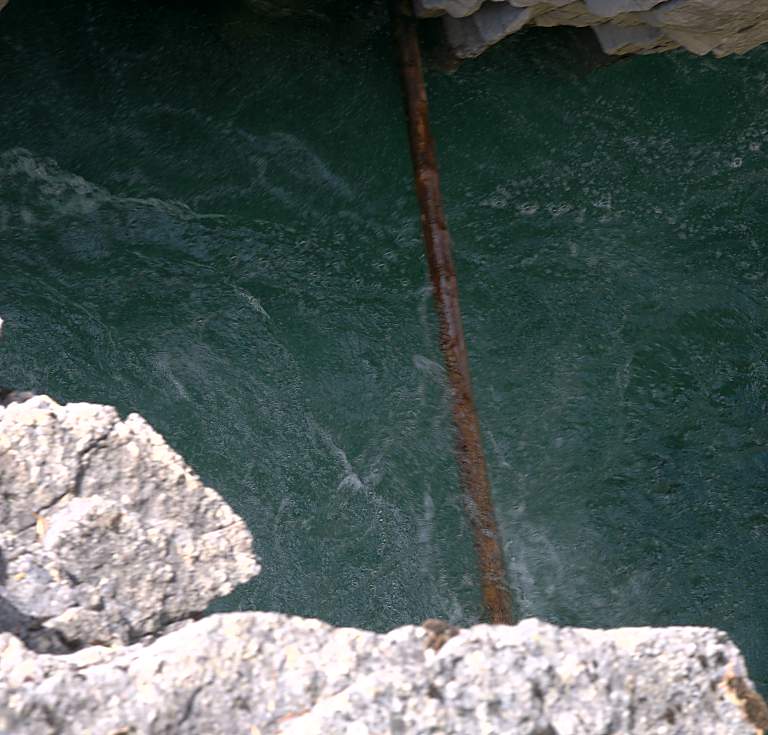
When I first saw the above section I was delighted; what a cool place to float! I climbed the cliff on the left (river right) and peered over the edge, and my stomach turned over. You can't see it from downstream, but there is a log that completely spanns the gorge right at water level. There's an "interesting" rapid at the corner just above the log, and there's not much of a place to eddy out below the rapid. Even if you could eddy out, there's no way to get out of the canyon from there, or even get out of your boat.
 |
 |
 |
 |
| Blind corner
just upstream of log |
Log spanning gorge
at water level just past blind corner |
It looks innocent
... from below... |
|
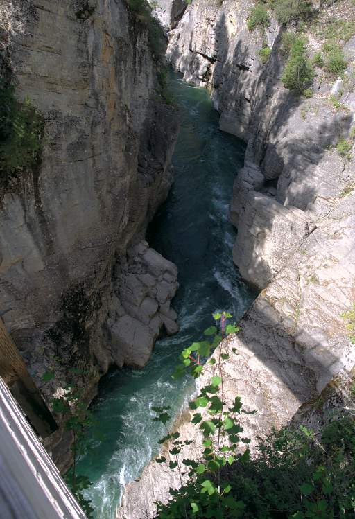
Above the section with the log are more rapids, but the ones immediately above I could see and looked runnable. The trick would be getting out to portage at the right place. But then there's another two miles or so of rapids and slots and smooth water below the bridge I have no idea about, and two miles or so above what I could see.
 |
| Upstream of the log section |
These are rapids that definitely need careful scouting. They need scouting not just for the rapids, but for places where you can get out to scout. The river might be smooth as glass where you are now, but you need to know there's a place to get out and scout before you hit something serious. The gorge walls might not be high everywhere, but four foot high walls can be as much of a barrier as a 100 foot high cliff if you're in a boat.
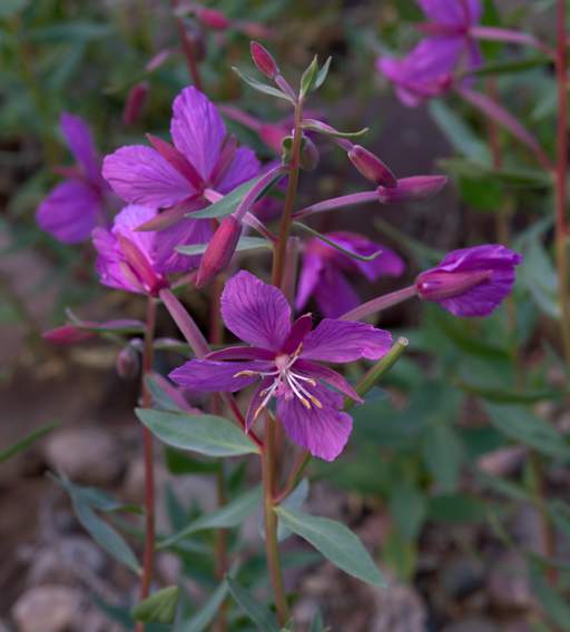
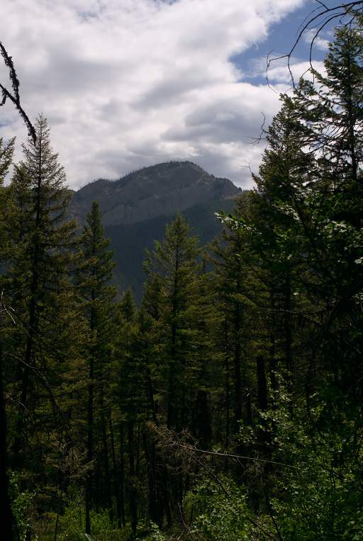
The next day we waded across Bunker Creek and hiked part-way up Picture Peak. We figured we might not make it to the top, but we hoped to get to a place with a decent vista. Along the way, we enjoyed the wildflowers.
 |
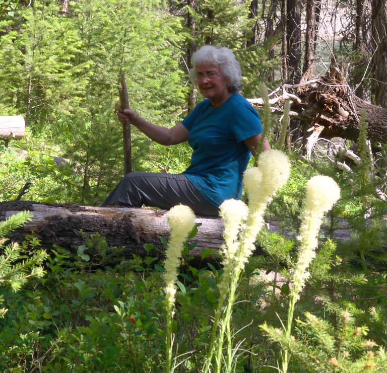 |
| Dona and Beargrass | |
 |
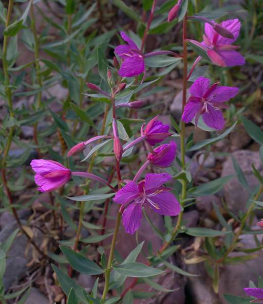 |
| Broad-Leaved Fireweed | |
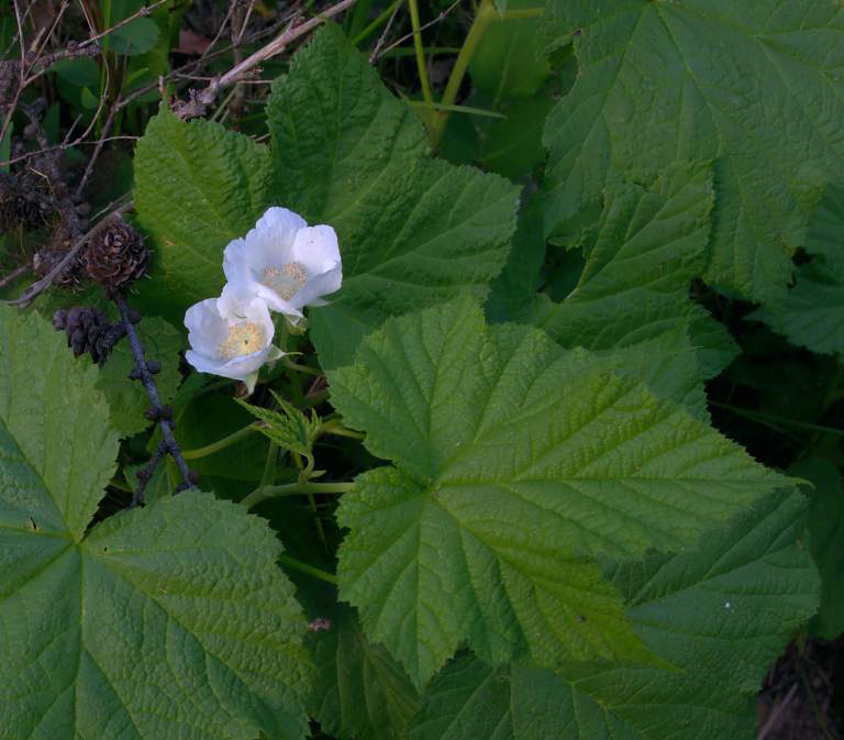 |
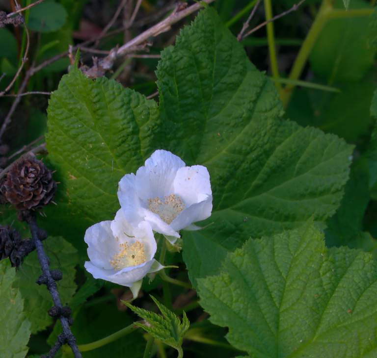 |
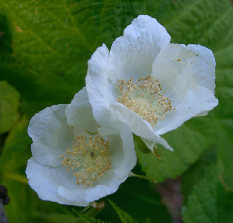 |
| Thimbleberry | ||
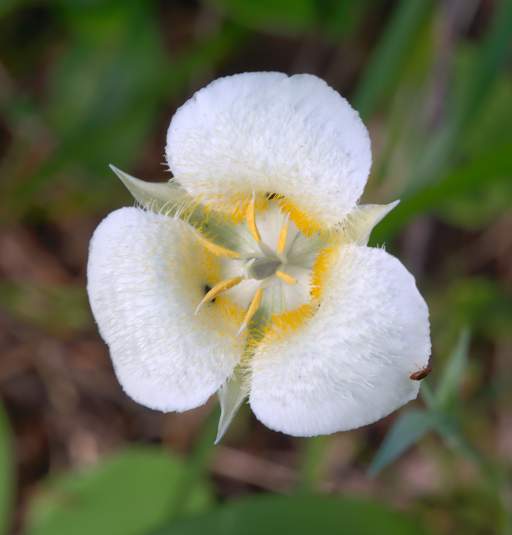
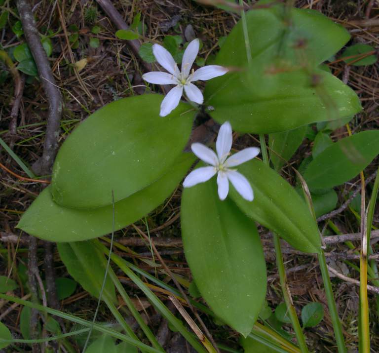
In the second image below, note the single set of small opposite leaves on the stem just below the flower; and the one large leaf to the lower left of the flower which originates at the base of the stem. It's a pretty flower with not much plant to sustain it!
 |
 |
 |
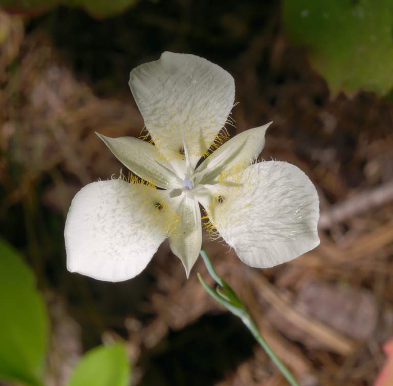 |
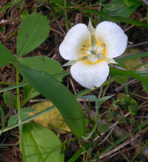
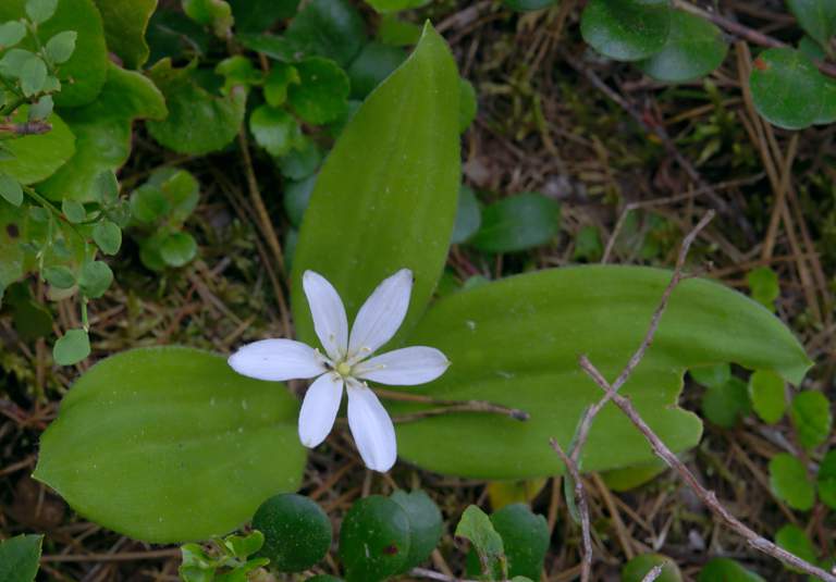
| Mariposa Lily | |||
 |
 |
 |
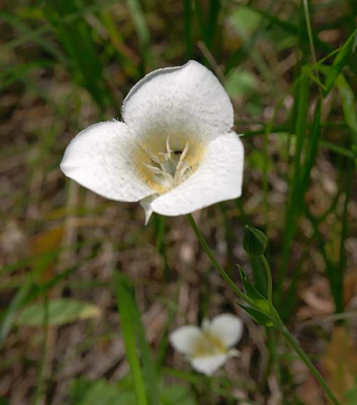
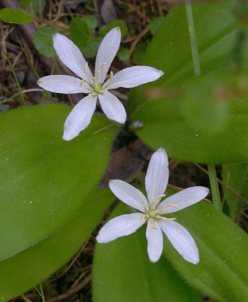
| Flower Xxx White 6Petal | ||
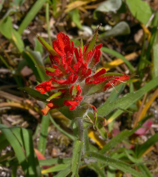 |
| Paintbrush |
The first short section of our hike allowed us to peek into the part of Meadow Creek Gorge just above the pack bridge. As usual, I looked at it from a kayaker / floater's perspective.
 |
 |
 |
| Meadow Cr. Gorge above the pack bridge | ||
We had a long drive of about five hours to get home, and we didn't want to drag it out. It soon became evident we weren't going to get our view without a lot more time on the trail, so we turned around about a third of the way up.
 |
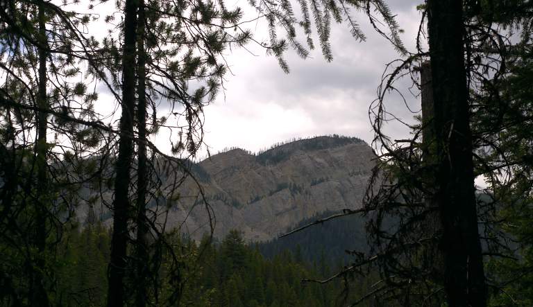 |
| Xxx Meadow Mountain? | |
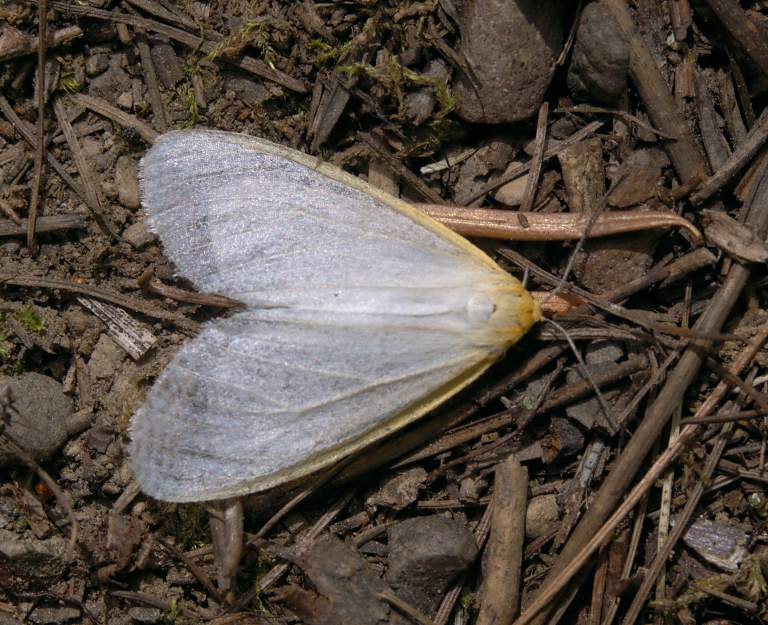 |
| Moth |
 |
| Dona after wading Bunker Creek |
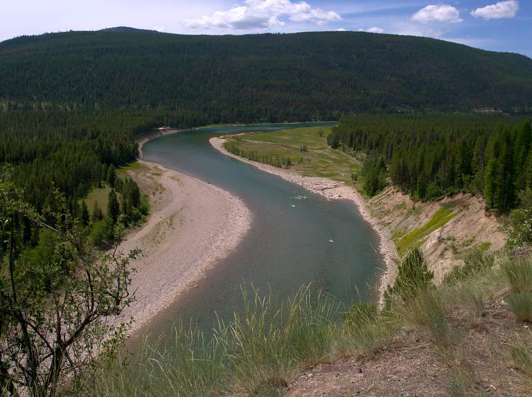
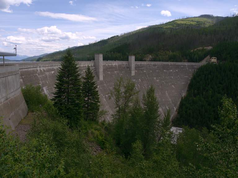
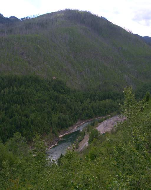
After our hike we headed home down the west side of the reservoir. The scenery is spectacular, although the lake's bathtub ring is an eyesore that must get really bad as summer wears on and the reservoir drops.
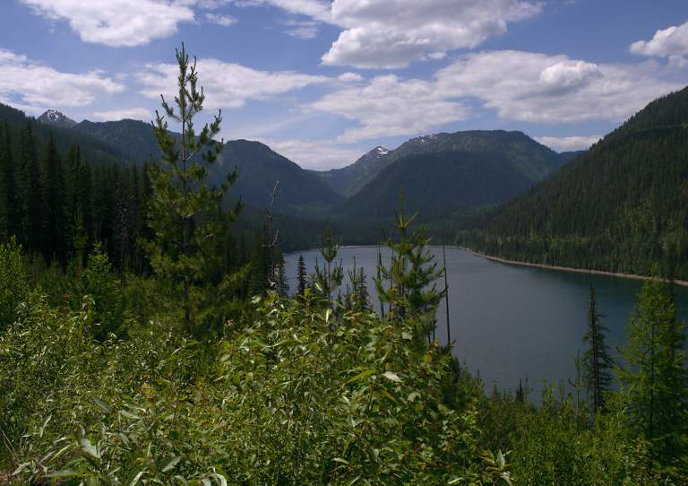 |
| Hungry Horse Reservoir just upstream of the dam |
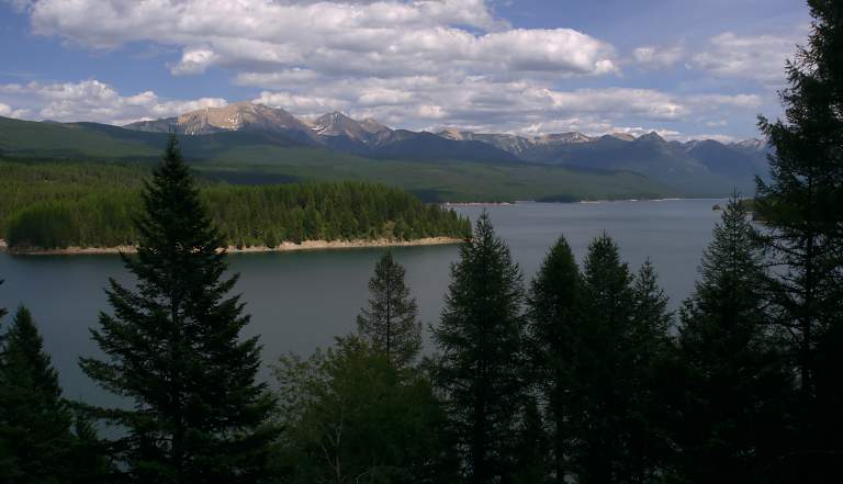 |
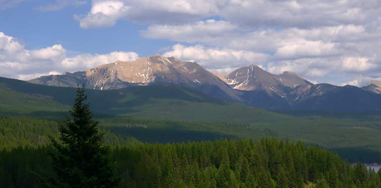 |
| Looking East across Hungry Horse Reservoir | |
 |
 |
| Hungry Horse Dam | Powerlines below the Dam |
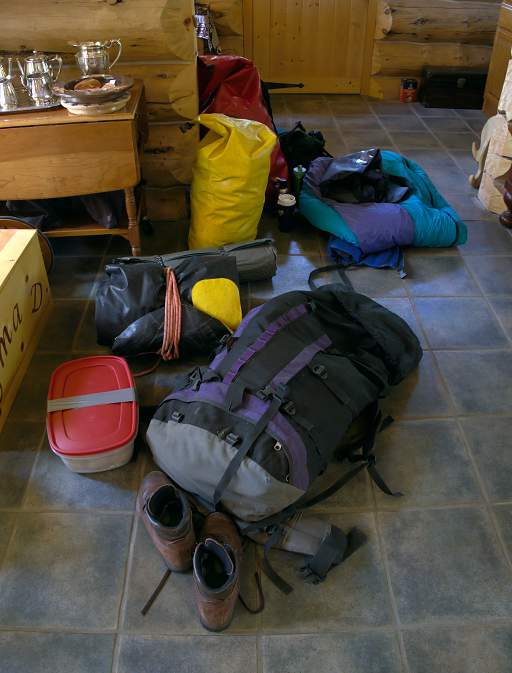
Wayne arrived and we spread gear all over the house.
I was using my trusty Water Master raft, which when I bought it back in 1993 or so was a state-of-the-art back-country float vehicle. Wayne was using his even older inflatable kayak, made of a chlorosulfonated polyethylene hypalon-like material. Wayne's raft added up to about 35 pounds; mine around 20. In the photos below, mine is packed in the big grey bag; Wayne's is rolled up with a yellow patch showing. The big green box is a horse pannier that didn't go with us.
This was not a "go super-light" trip. Our gear was being packed in; Wayne planned for better than average meals, and we brought a dutch oven and two stoves. We had a four-season tent and fishing gear such as waders and wading shoes.
We sorted things out, packed it up, and dropped it off at Rich Ranch.
The next morning we were up early and off to the trailhead for the hike in.
 |
 |
| Gary's Gear | Wayne's Gear |
This page last updated on 2015-07-16.
![]()