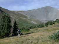
(Summit not in view)
 |
| San Luis East Ridge and Stewart Creek Basin
(Summit not in view) |
While visiting my parents in Larkspur, Colorado, an old kayaking buddy, Erik Thorp, called and asked if I'd be up for a hike up a "fourteener". I haven't been doing enough hiking, so I said "sure!" I hoped my daily trips taking the horses down to their pasture and back and running to the mailbox had me in ok shape. I was wondering how I would do with the altitude, but I figured I was at least partly acclimated from living at 4000' and spending the week at mom and dad's at 6000'.
I didn't have any hiking gear with me, but fortunately I'm about the same size as dad. I needed some new boots anyway, so we went up to REI and bought a pair. I spent the next two days wearing them around the house; they seemed to fit really well. I borrowed socks, a wool hat, a light sun hat, a rain jacket, a wool sweater, a water bottle, a swiss army knife and some band-aids. Erik brought an extra sleeping bag and foam pads.
We drove down to the trailhead the night before, threw our bags on the ground, and tried to zonk out. Not easy with a full moon shining... The last 40 miles, after you head south from near Gunnison, is gorgeous country.
Mt. San Luis is 14,014 feet high. The trail starts at about 10,600', so we had some altitude to gain.
We got up way too early, just about right for starting a summit hike. After a quick breakfast of oatmeal and hot chocolate, we were off. The sun was just hitting the upper peaks. After an hour or so we were nearing the upper basin of Stewart Creek. We took a brief rest to drink and munch and thereby lighten our packs. I kept offering Erik a drink but he just sipped away from his camelback.
 |
 |
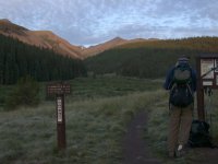
| Erik at trailhead |
 |
 |
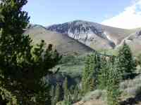 |
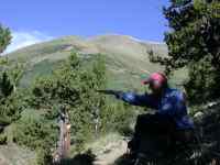
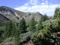
| Erik at rest stop | Glimpse of neighboring hills |
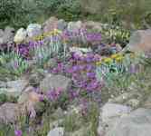
As the country opened up there were more wildflowers.
 |
 |
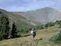 |
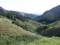
| Wildflowers | Looking down Steward Creek | Nearing head of Steward Creek |
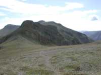
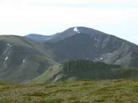
There is a small basin at the head of Stewart Creek. Once we got there, the hard part began. The trail goes up a steep hillside to a saddle, and from there along the east ridge of San Luis to the summit.
 |
 |
 |
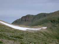 |
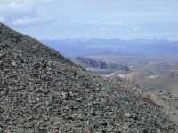
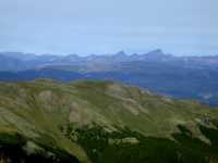
| Saddle | Saddle looking North | Saddle looking North | Saddle looking North to Baldy Alto |
 |
 |
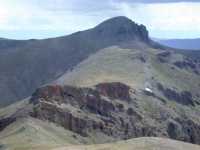 |
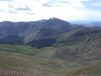
| Looking down Cochelopa Cr. | Cochelopa Cr. from above Saddle | Organ Mt. from above Saddle |
Once you reach the saddle, you can see the summit. It's an easy ascent just off the ridge most of the way, then finishes up the ridge itself. In the photo below, a guy we met on the trail can be seen near the top of the ridge.
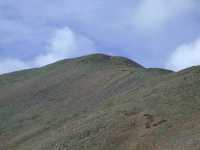 |
| Summit ridge |
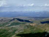
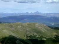
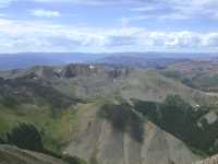
Then, in short order, we were on top. What a view! It may not be a particularly aesthetically pleasing mountain, but it sure has a great view and not a lot of crowds.
 |
 |
 |
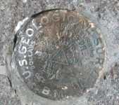 |
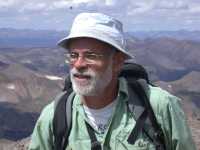
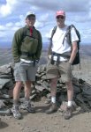
| Gary and Erik on Top | Gary | Erik and new Acquaintance | Summit Benchmark |
 |
 |
 |
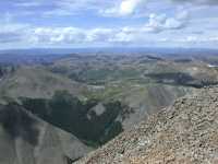 |
| Looking North from Summit | Looking Northwest from Summit | Looking West from Summit |
After a nice rest and an early lunch, we started down.
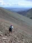 |
| Erik Descending |
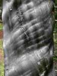
On the way down we noticed this burned tree.
 |
 |
 |
It had been clouding up slowly all day; by the time we reached the car it had been spitting for an hour or so. We made it down just as it really opened up. All in all, a great trip, with ice cream on the way home!