|
|
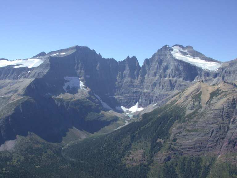
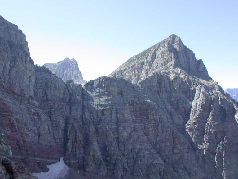
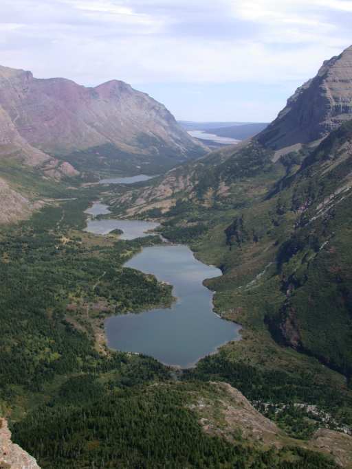
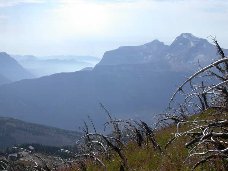
| Ipasha Peak and Mt. Merritt |
Wow! Dona and I went up to Glacier for a couple of days to hike... It was pretty warm. We drove up the east side back roads, by Bean Lake and Heart Butte.
We camped at Many Glacier. There were lots of people. We were there about 3:00pm and found a place, but the campground filled up by the end of the day (a Tuesday).
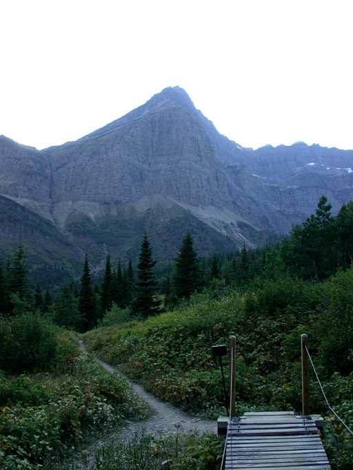
On Tuesday, the day we arrived, we went for an evening stroll... When we left camp I thought we were just going maybe to the lodge, so wore my Tevas and didn't bring a light, knife, pepper spray, or anything else useful. It was a wonderful evening, and we ended up hiking up past Grinnell Lake on the Grinnell Glacier trail. We turned around at 18:45; I was a little uneasy hiking late in the evening up there without any pepper spray. Anyway, we didn't see much but had a good hike.
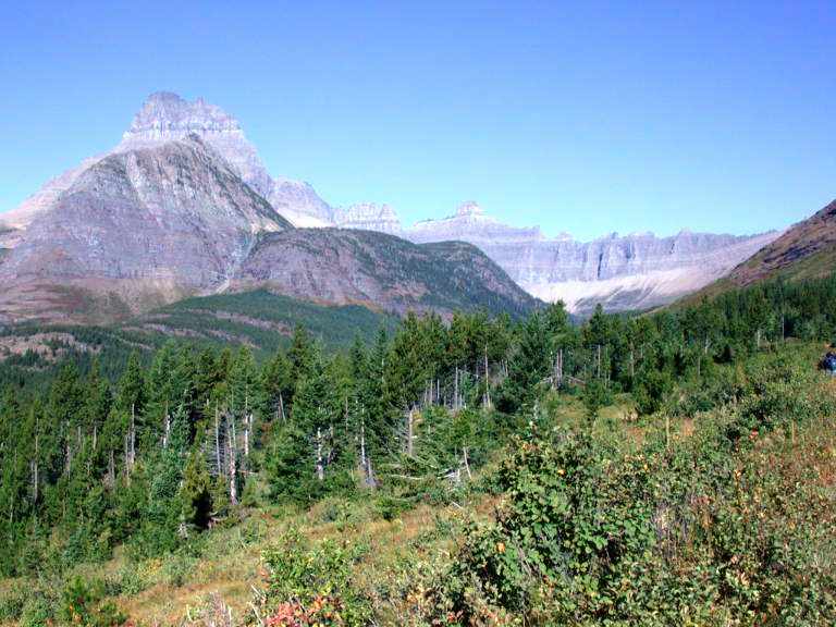
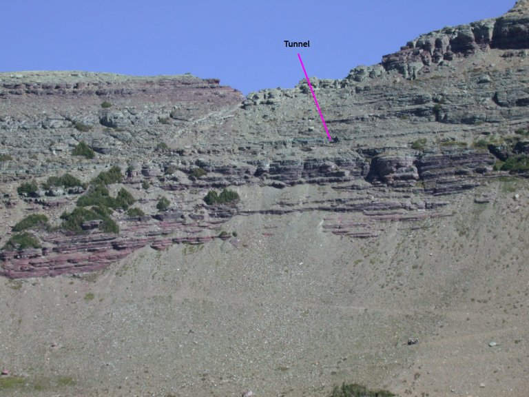
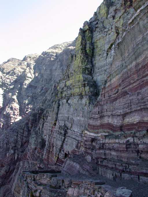
We headed out Wednesday towards Ptarmigan Tunnel. It's around the corner to the right in the first picture below, more or less at the base of the wall.
 |
 |
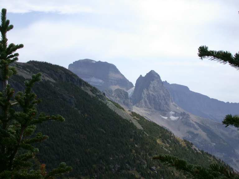
| Mt. Wilbur, Ptarmigan Ridge | Mt. Gould, Grinnell Glacier |
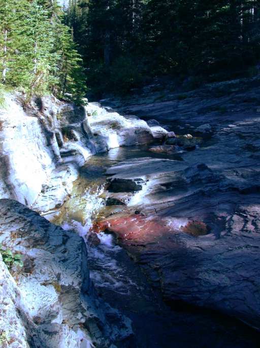
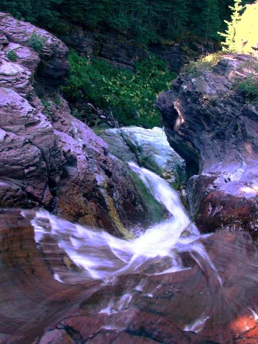
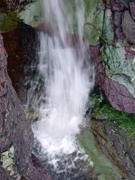
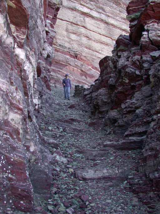
Ptarmigan Creek didn't have a lot of water in it, but the colors were wonderful.
 |
 |
 |
| Ptarmigan Cr. | ||
 |
 |
|
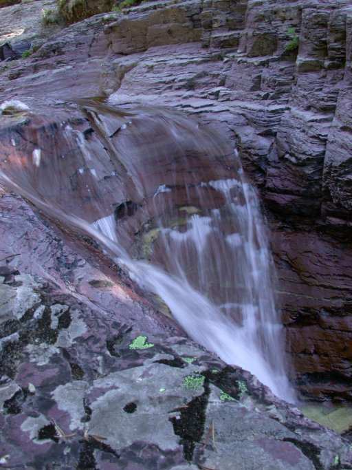
Somewhere beyond where the trail crosses Ptarmigan Creek at Ptarmigan Falls we heard an elk bugle but didn't see anything.
 |
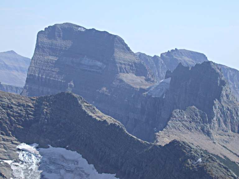
| Mt. Wilbur |
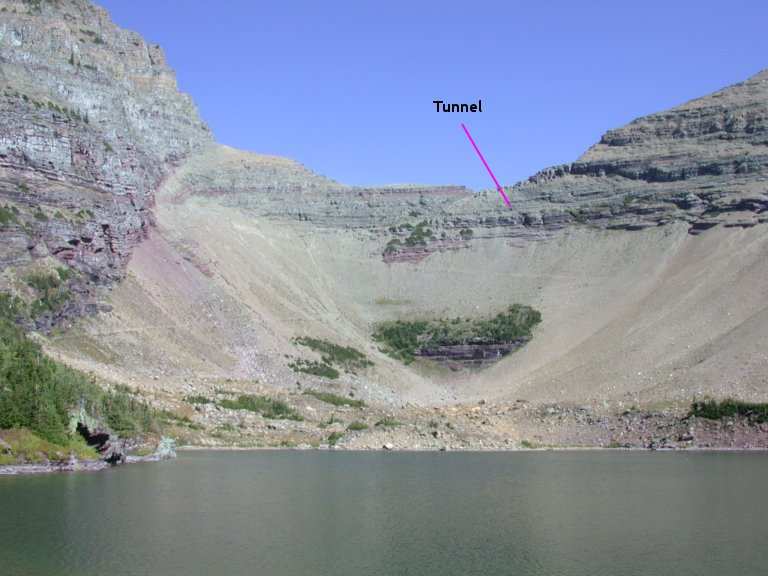
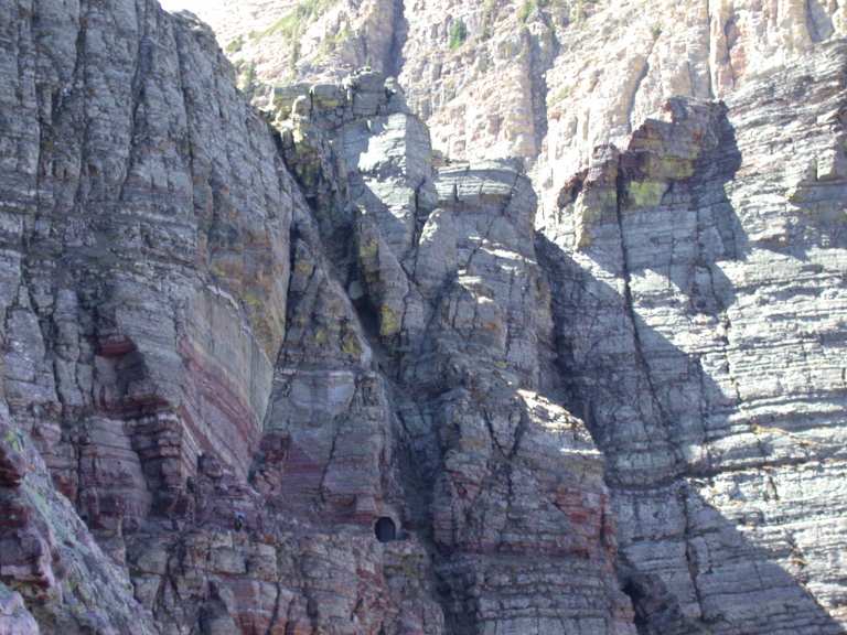
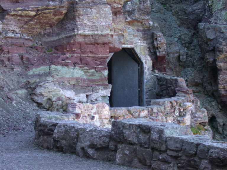
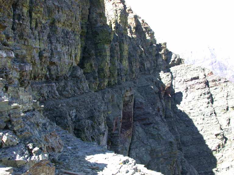
Ptarmigan Tunnel was built back in the early part of the 20th century when the Park Service thought it was a good idea to do stupid things like blast the hell out of mountains to build roads and trails.
So they built a trail to within 50 feet or so of this saddle, then blasted a tunnel through it. Looking at it now, it would have been much easier to build a trail up to the saddle on the Ptarmigan Lake side, and then chisel some steps down the other side. They would have been steep; one could have even put in a cable to hold on to as they did on Long's Peak in Rocky Mountain National Park in Colorado. Or even not connect the two trails, and leave the connection to those hardy souls who like to climb things. In any case, they didn't need to tear a hole in the mountain. But since it's there, it's kinda amusing.
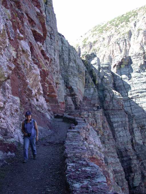
Ptarmigan Lake sits below the saddle where the tunnel is located. It's a rather austere setting, but it has a nice view of the tunnel once you figure out where it is. It's difficult to locate unless you know where it is or there are people coming and going up there. You can follow the trail up part way, but it was difficult for me to see once it got into the broken rock of the cliff.
 |
 |
 |
| Ptarmigan Lake | Ptarmigan Tunnel | Ptarmigan Lake, Mt. Wilbur |
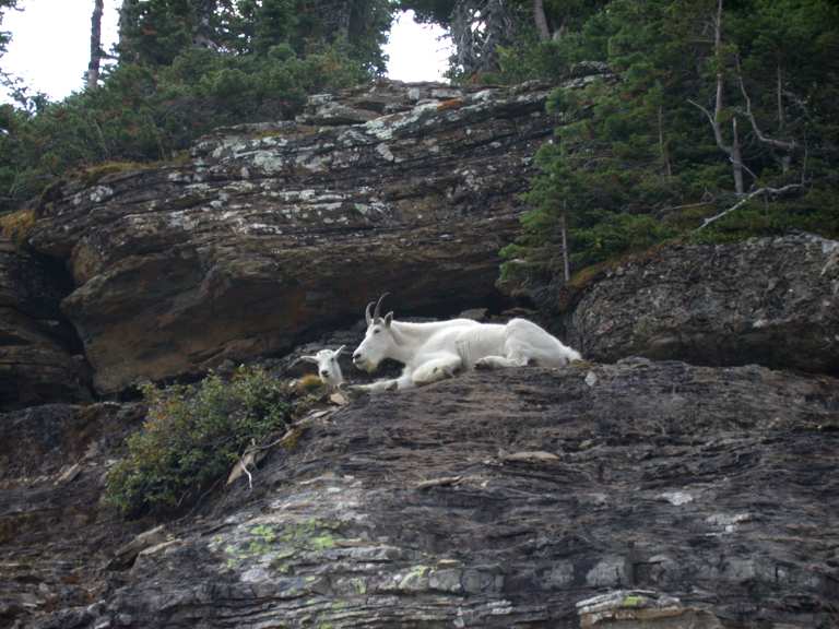
As we neared the tunnel entrance, a Mountain Goat was polite enough to show up and pose for us.
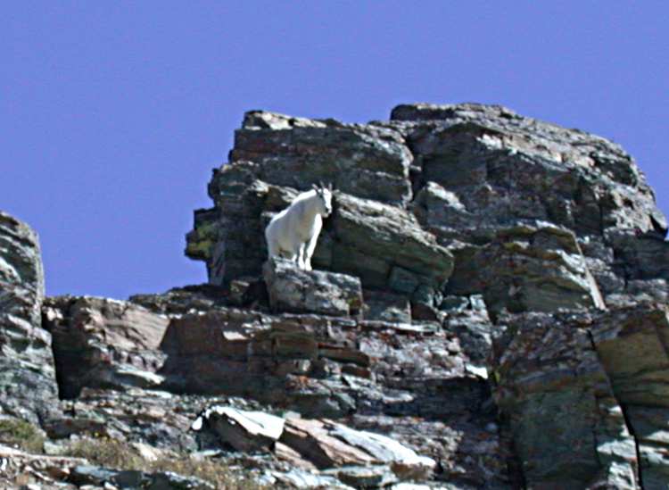 |
| Mountain Goat |
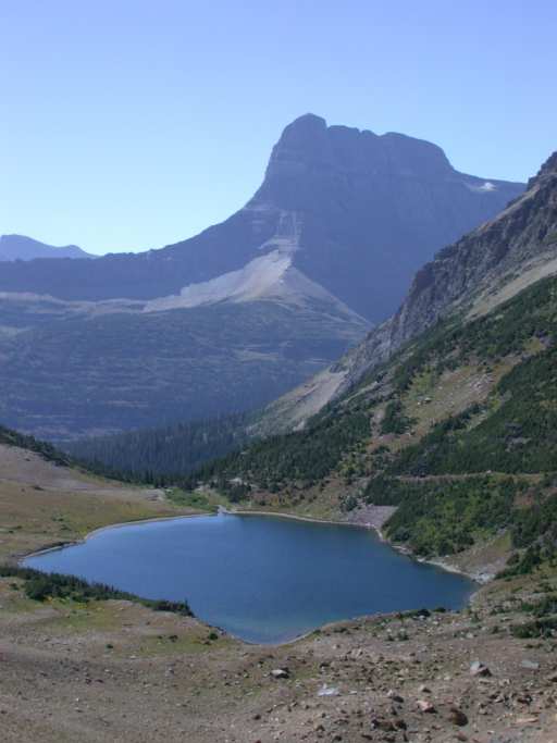
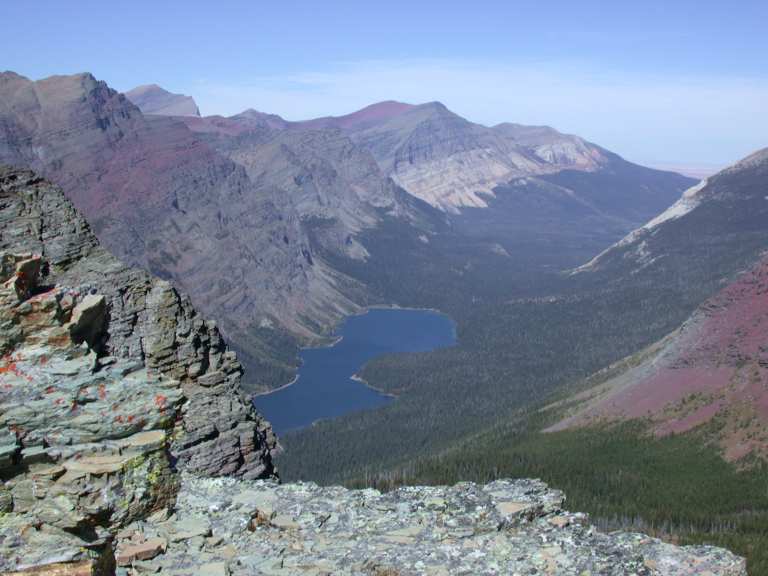
When you go through the tunnel, you come out in the middle of a cliff -- the really big part of the Ptarmigan wall. You have a great view down into the Belly River valley, with Elizabeth Lake front and center.
 |
| Elizabeth Lake |
 |
 |
 |
| Ptarmigan Tunnel, N side |
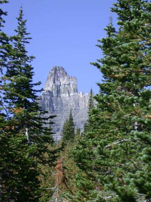
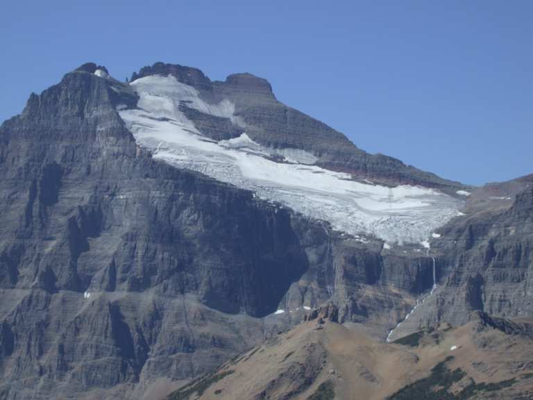
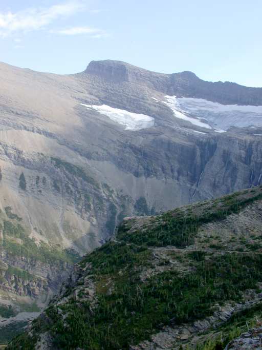
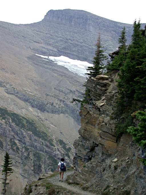
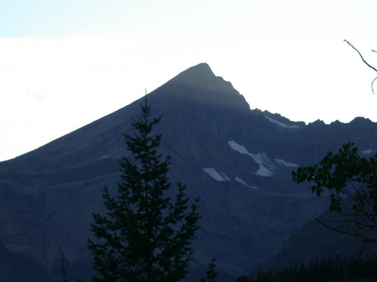
The first half mile or so of trail down the other side is spectacular; and as you progress, you have to keep looking over your shoulder to watch Mt. Merritt and Ipasha Peak emerge around the corner of the Ptarmigan Wall.
 |
 |
 |
| N side Ptarmigan Tunnel | Lichen, Ptarmigan Trail | Ptarmigan Trail |
 |
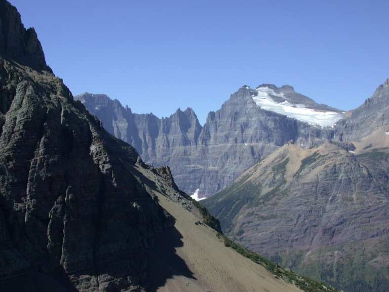 |
| Mt. Merritt | Ipasha Peak, Mt. Merritt |
We hiked down part way, then returned to the tunnel. There's a great view of Mt. Wilson as you emerge from the tunnel on the south side.
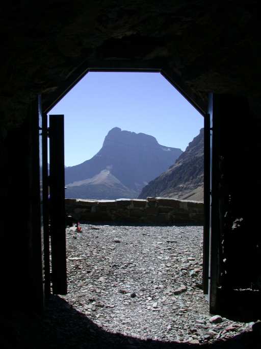 |
| Mt. Wilson through Ptarmigan Tunnel |
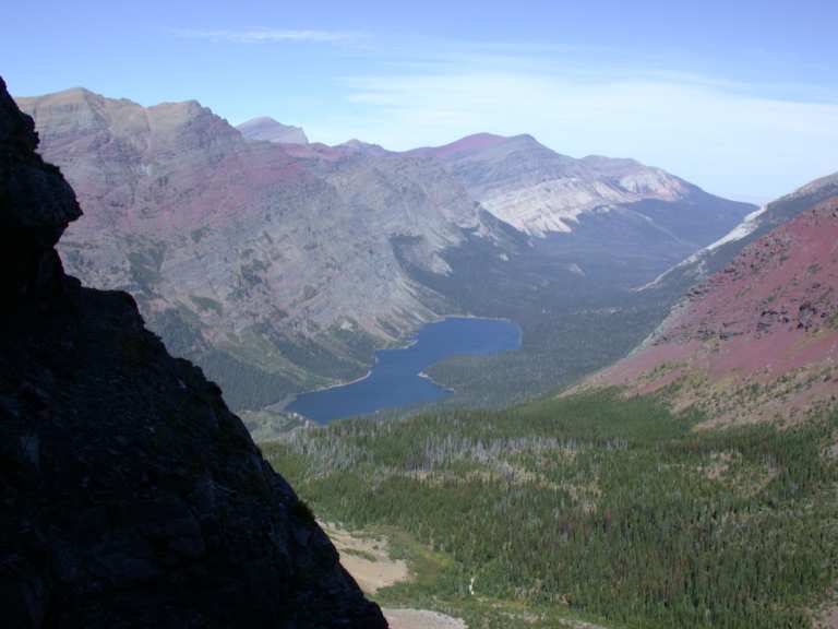
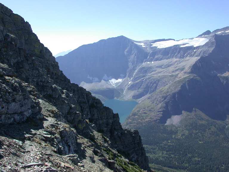
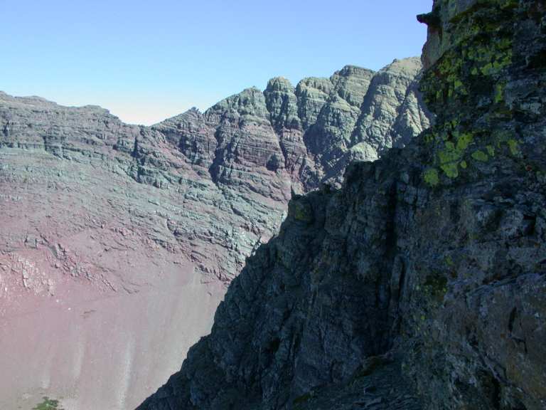
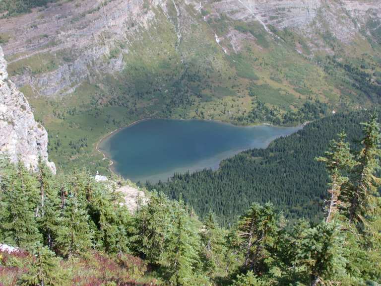
One of the reasons I wanted to hike up to Ptarmigan Tunnel was to take a peek at the Ptarmigan Wall Goat Trail. There's a trail of sorts, well worn over the centuries by mountain goats, that goes from the saddle above the tunnel around the back (north) side of the Ptarmigan Wall and connects to the Ahern Glacier and the continental divide to the west. I've wanted to check it out ever since I learned about it a few years ago. So... Dona waited by the tunnel and I climbed up to the ridge looking for the goat trail. The first thing I saw from the ridge was another great view of Elizabeth Lake.
The stuff I'd read about it said the goat trail started at the base of the wall, right where the steep ridge of the wall starts up. But the first thing I found was a goat trail somewhat lower down. It was well worn and looked like a regular trail almost... at first. I went down it a ways, but then it narrowed down quite a bit and got a little more tenuous, so I reversed and decided to check out the "proper" trail first.
 |
 |
 |
| Elizabeth Lk | Lower Goat Trail | Goat Trail |
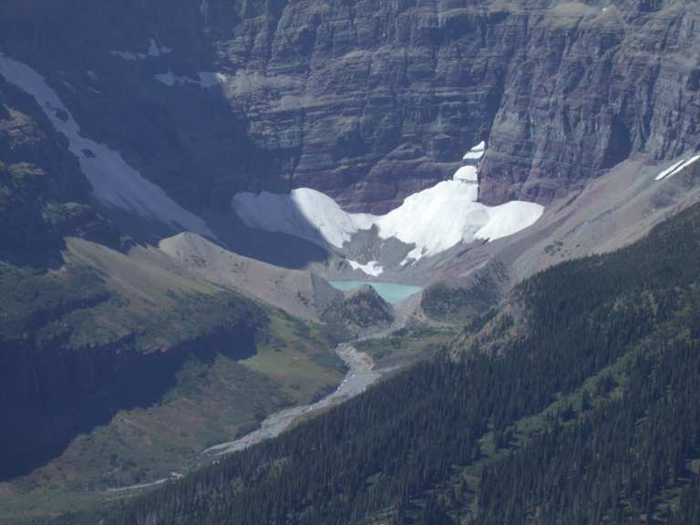
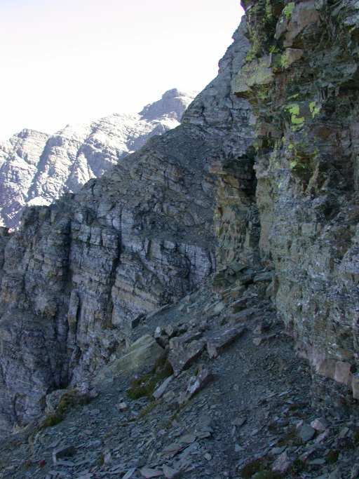
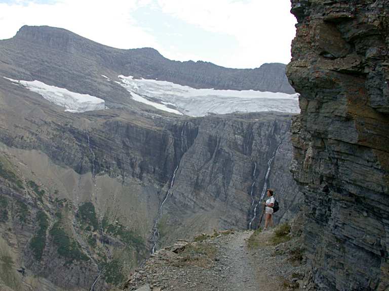
Wow! The "proper" goat trail was a little less intimidating, so I went down it a ways. It still had a few spots where I had to be pretty careful -- sandy slopes that dropped off into nothingness. You definitely wouldn't want to do this blindfolded, or after a snowstorm, or early or late in the year when there is likely to be snowmelt turned to ice. As you work your way along it, Mt. Merritt, Ipasha Peak, and Ahern Peak come into view. There's a cool little lake right at the base of Mt. Merritt, and some pretty nice waterfalls coming over the cliffs below its big glacier.
 |
|
| Ahern Peak & Glacier, Helen Lk | Ipasha Peak, Mt. Merritt |
 |
 |
| Lake at base of Mt. Merritt | Mt. Merritt |
 |
 |
| Ptarmigan Trail from Goat Trail | Goat Trail |
It was pretty hard to turn around and not just keep going, but the spectacular part of the trail is several miles long, and I didn't want to keep Dona waiting too long. So now I have something to put on my list for next year...
On the way down we saw a sow griz with a cub, just off the trail at the base of the cliffs below Ptarmigan Lake.
 |
| Ptarmigan Falls |
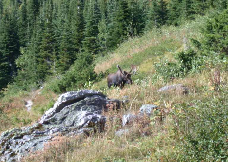
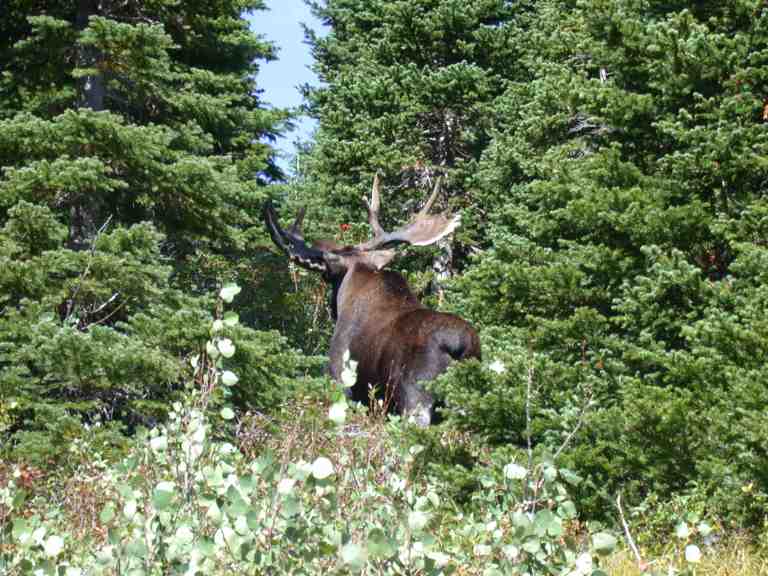
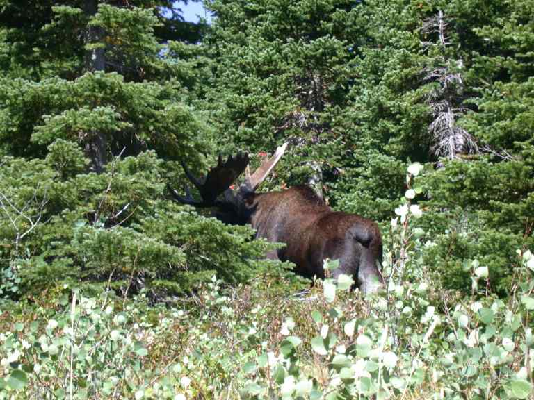
The next day we hiked up to Swiftcurrent Pass, then up to the lookout. As we were going past Bullhead Lake we saw a big bull moose.
 |
 |
 |
| Bullhead Lake | Moose |
 |
 |
We saw two big grizzlies on our way up. They were exiting the top of the couloir where the waterfall comes down below the glacier. A couple at the switchback in the trail said they had just seen a wolverine a few minutes earlier heading up as well. I was a little dubious about that... The only other wildlife we saw on the way up was a Ruffed Grouse.
 |
 |
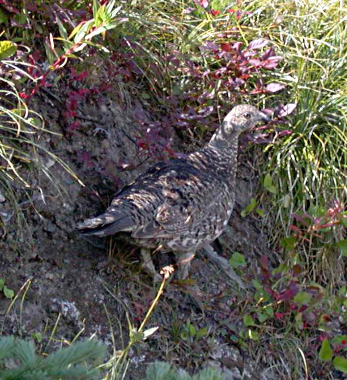 |
| Swiftcurrent, Redrock Lk | Windmaker Lk | Ruffed Grouse |
 |
| Swiftcurrent Trail, Swiftcurrent Glacier |
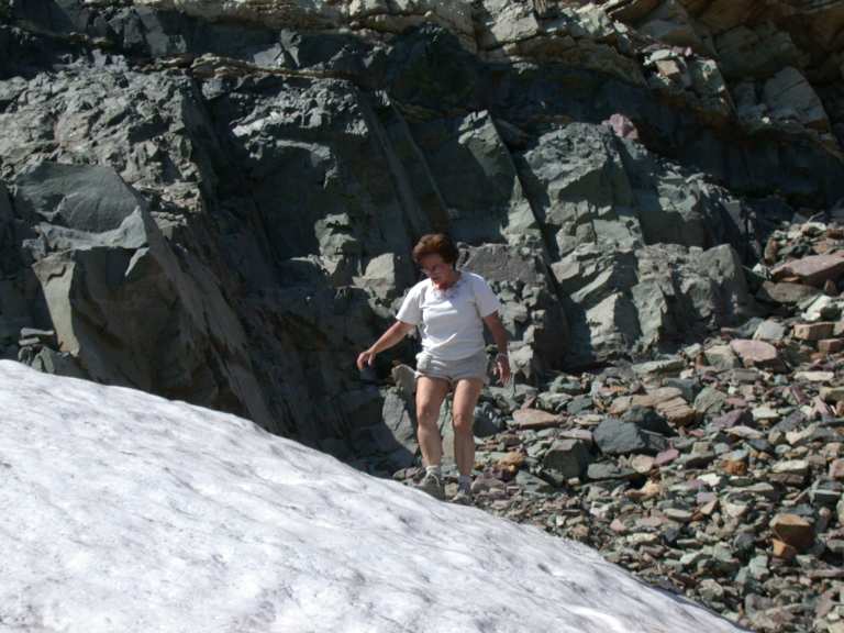
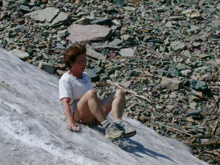
A little ways below Swiftcurrent Pass we came to a small snowfield, so we had to slide down it...
 |
 |
| Going up... | Hmmm... |
 |
 |
| Whee! | It's wet! |
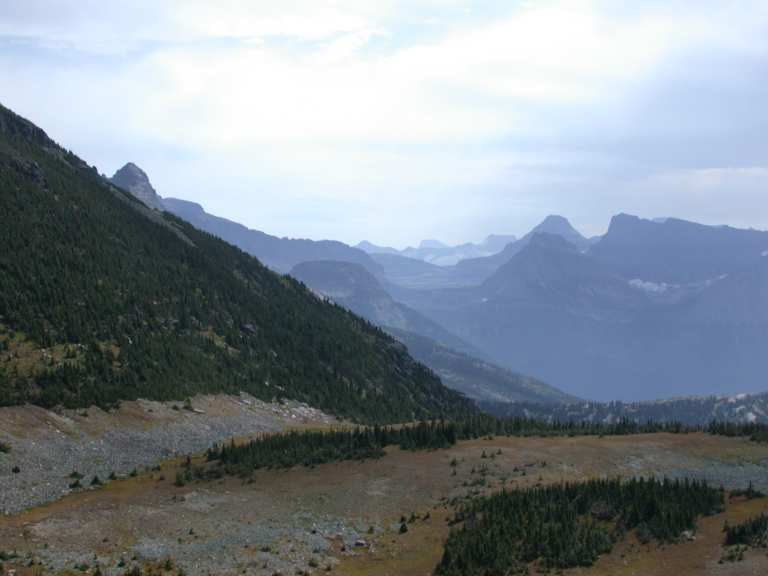
From the pass, we hiked up the last 800 feet or so to the lookout. You have a nice view down on Granite Park Chalet on the other side. There was a lot of smoke in the valley to the west from one of the many forest fires that were burning at the time.
 |
 |
 |
| Granite Park Chalet | Looking S, from Swiftcurrent Trail | Longfellow Pk, smoky valley |
 |
 |
| SE from Swiftcurrent trail | Swiftcurrent Glacier, Mt. Gould |
There was a great view from the top. On the panorama below, if it dowsn't fill your screen when you click on it the first time, click on it again.
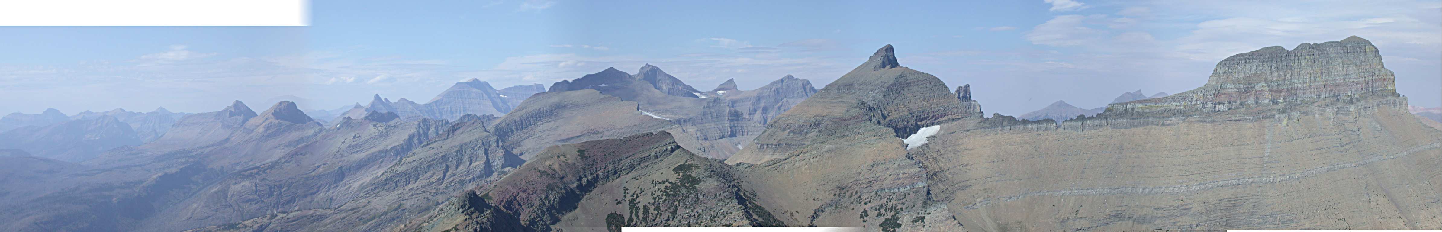 |
| Swiftcurrent Panorama |
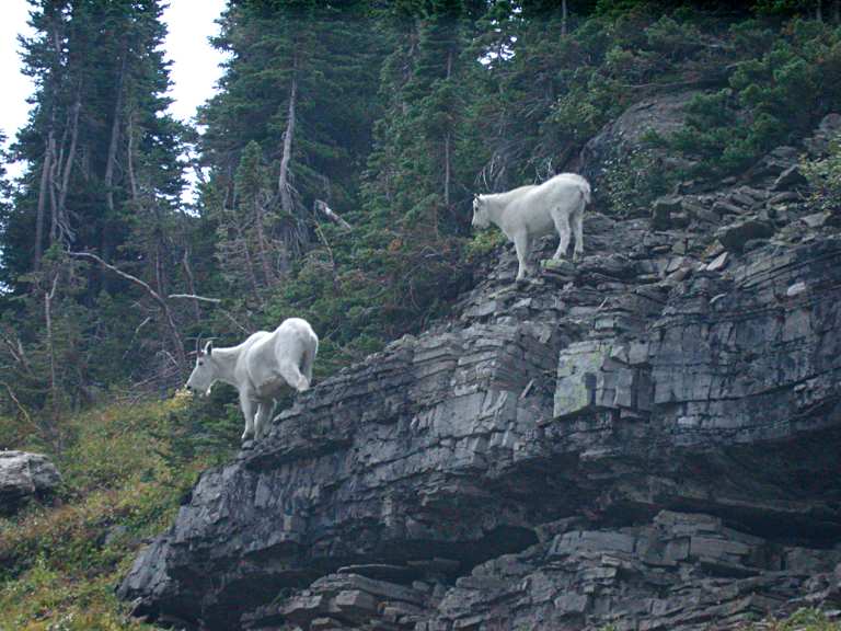
It was getting towards evening as we headed down, and more animals were out feeding. Much to our surprise and delight, we saw a wolverine on our way down from the Swiftcurrent Lookout! It's the only wolverine I've ever seen, and I was delighted. It didn't stick around long enough for a photo... We wondered if it was the same one the other folks saw on the way up; it was several miles away, but they have a huge (400 sq-mi) territory, so maybe not. We also saw a small herd of bighorn sheep and some goats on the way down.
 |
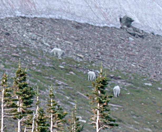 |
| Mountain Sheep | Mountain Goats |
The grizzlies we saw on the way up were heading up to the green plateau you see to the right of the waterfall / creek in the far right photo in the second row below.
 |
 |
 |
| Swiftcurrent Trail |
 |
 |
| Swiftcurrent Glacier |
We got back about the time the sun went down. Thank mother nature for long summer days! In the large version of the photo on the right below, you can just make out the lookout at the top of the mountain.
 |
 |
| Swiftcurrent Mountain | Swiftcurrent Mountain |
The next day we headed home over Logan Pass and the Going-to-the-Sun road. There was a goat with her kid watching over all the traffic on the way down.
 |
 |
| Mountain Goat and Kid |
All in all, a great trip. If I didn't get in a good pack trip this year, at least I got in some good hiking!
This page last updated on 2013-10-23.
![]()